Ban Talat Yai night lights from space
Night Light of Ban Talat Yai (Phuket) from space (Thailand) Src. Average luminocity for 10x10km area is 71.4793% and for 50x50km: 15.6794%.
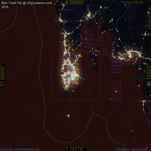
Analysis of Ban Talat Yai night lights 2016
Square area 10x10 km:
 23.35%
90-99
25.41%80-89
2.27%70-79
3.1%60-69
8.47%50-59
10.95%40-49
5.99%30-39
5.99%20-29
7.64%10-19
6.82%0-9
0%Square area 50x50 km:
2.91%90-99
3.06%80-89
0.86%70-79
1.29%60-69
2.27%50-59
2.97%40-49
3.38%30-39
2.39%20-29
4.02%10-19
7.97%0-9
68.87%Clear (daylight) street map image can be seen on geolist.org.
Map coordinates:
8° 34' 50.4" North, 97° 41' 49.1" East
7° 53' 5.3" North, 98° 24' 0.3" East
7° 11' 15.9" North, 99° 6' 11.6" East
Some cities around Ban Talat Yai sort by population:
• Phuket
0.7 km =0.4 mi,  341°
341°
• Wichit
1.7 km =1.1 mi,  287°
287°
• Kathu
8.2 km =5.1 mi,  296°
296°
• Ban Ratsada
2.8 km =1.7 mi,  5°
5°
• Ban Chalong
8.1 km =5 mi,  236°
236°
• Patong
11.5 km =7.1 mi,  276°
276°
• Ban Ko Kaeo
5.7 km =3.5 mi,  356°
356°
• Ban Karon
11.9 km =7.4 mi,  249°
249°
1117652 (p: 52,192)
Sources (retrieved 2019-11-25):
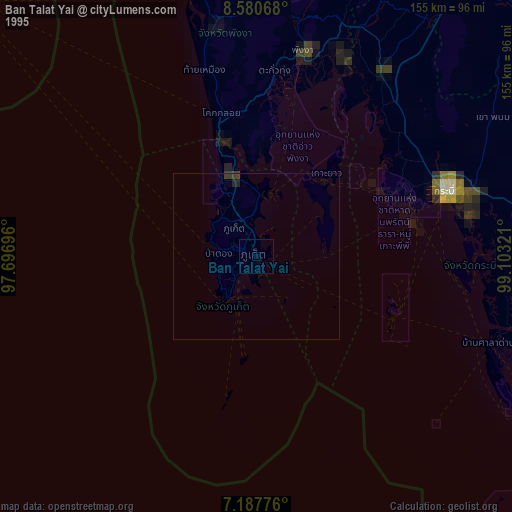
» NASA, Earths city lights 1995
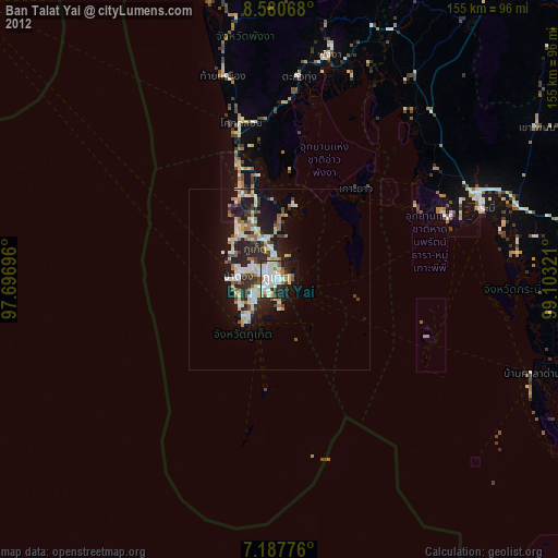
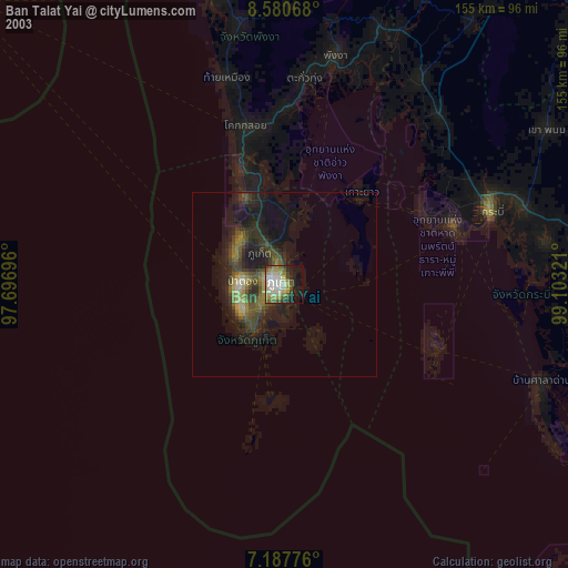
» NASA city lights 2003
» Earth at Night: Flat Maps 2012, 2016