Phra Pradaeng night lights from space
Night Light of Phra Pradaeng (Samut Prakan) from space (Thailand) Src. Average luminocity for 10x10km area is 98.7397% and for 50x50km: 75.4684%.
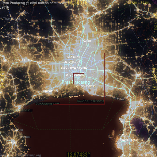
Analysis of Phra Pradaeng night lights 2016
Square area 10x10 km:
 63.64%
90-99
34.3%80-89
2.07%70-79
0%60-69
0%50-59
0%40-49
0%30-39
0%20-29
0%10-19
0%0-9
0%Square area 50x50 km:
38.91%90-99
18.73%80-89
8.85%70-79
5.13%60-69
3.81%50-59
2.76%40-49
2.15%30-39
1.98%20-29
2.11%10-19
4%0-9
11.57%Clear (daylight) street map image can be seen on geolist.org.
Map coordinates:
14° 20' 26.8" North, 99° 49' 49.8" East
13° 39' 30.8" North, 100° 32' 1" East
12° 58' 27.6" North, 101° 14' 12.3" East
Some cities around Phra Pradaeng sort by population:
• Bangkok
11.2 km =7 mi,  341°
341°
• Samut Prakan
9.5 km =5.9 mi,  133°
133°
• Mueang Nonthaburi
22.6 km =14 mi,  354°
354°
• Pak Kret
28.5 km =17.7 mi, 352°
• Bang Kruai
17.6 km =10.9 mi, 338°
• Krathum Baen
29.6 km =18.4 mi,  268°
268°
• Samut Sakhon
30.7 km =19.1 mi,  246°
246°
• Bang Yai
27.6 km =17.1 mi,  318°
318°
1607508 (p: 171,333)
Sources (retrieved 2019-11-25):
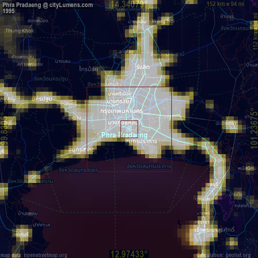
» NASA, Earths city lights 1995
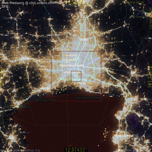
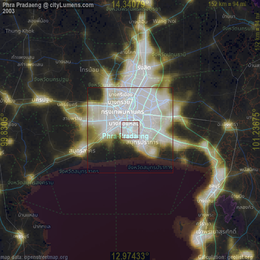
» NASA city lights 2003
» Earth at Night: Flat Maps 2012, 2016