Mueang Nonthaburi night lights from space
Night Light of Mueang Nonthaburi (Nonthaburi) from space (Thailand) Src. Average luminocity for 10x10km area is 99.1983% and for 50x50km: 88.8509%.
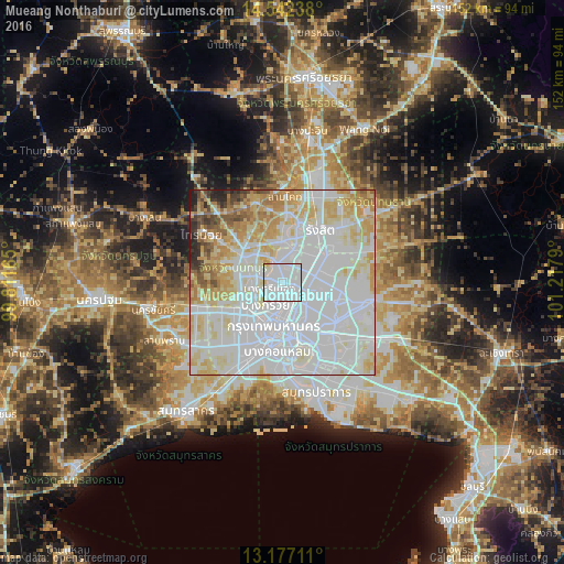
Analysis of Mueang Nonthaburi night lights 2016
Square area 10x10 km:
 77.48%
90-99
20.04%80-89
2.48%70-79
0%60-69
0%50-59
0%40-49
0%30-39
0%20-29
0%10-19
0%0-9
0%Square area 50x50 km:
43.32%90-99
23.06%80-89
12.31%70-79
8.73%60-69
4.6%50-59
2.73%40-49
1.79%30-39
1.25%20-29
1.66%10-19
0.55%0-9
0%Clear (daylight) street map image can be seen on geolist.org.
Map coordinates:
14° 32' 32.6" North, 99° 48' 41.9" East
13° 51' 38.7" North, 100° 30' 53.2" East
13° 10' 37.6" North, 101° 13' 4.4" East
Some cities around Mueang Nonthaburi sort by population:
• Bangkok
12 km =7.5 mi,  186°
186°
• Pak Kret
6.1 km =3.8 mi,  343°
343°
• Phra Pradaeng
22.6 km =14 mi,  174°
174°
• Bang Kruai
7.7 km =4.8 mi,  216°
216°
• Bang Bua Thong
11.7 km =7.3 mi,  302°
302°
• Ban Bang Kadi Pathum Thani
15.8 km =9.8 mi,  13°
13°
• Pathum Thani
17.1 km =10.6 mi, 5°
• Bang Yai
16.6 km =10.3 mi,  263°
263°
1608133 (p: 291,555)
Sources (retrieved 2019-11-25):
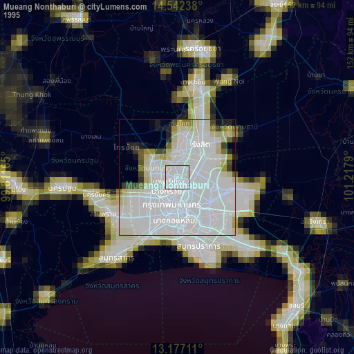
» NASA, Earths city lights 1995
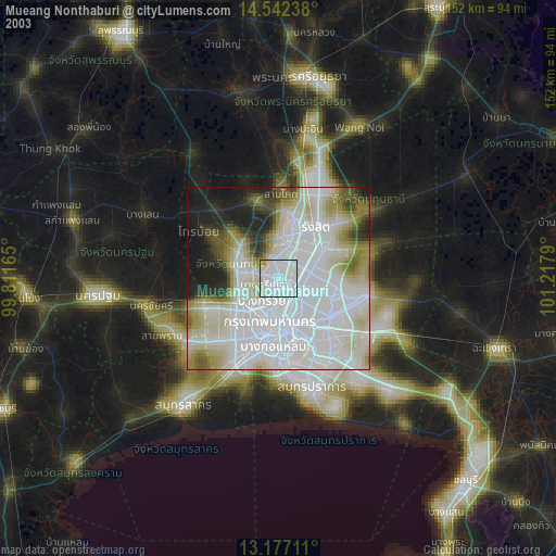
» NASA city lights 2003
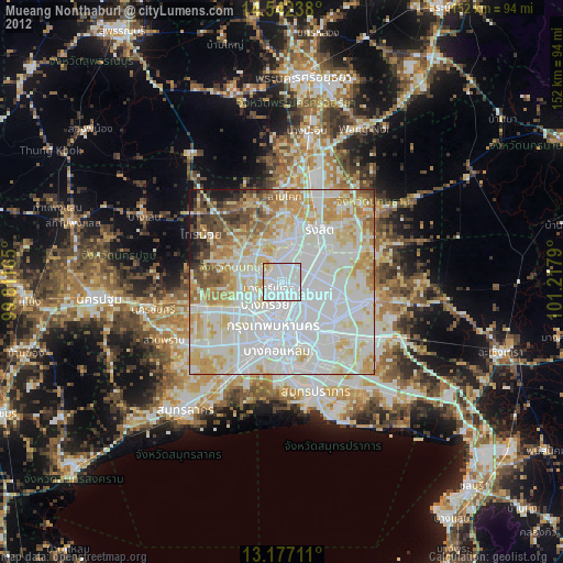
» Earth at Night: Flat Maps 2012, 2016