Amphoe Sikhiu night lights from space
Night Light of Amphoe Sikhiu (Nakhon Ratchasima) from space (Thailand) Src. Average luminocity for 10x10km area is 24.7355% and for 50x50km: 5.6627%.
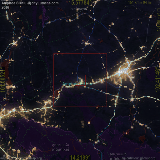
Analysis of Amphoe Sikhiu night lights 2016
Square area 10x10 km:
 1.24%
1.24%90-99
1.65%80-89
3.72%70-79
3.93%60-69
5.37%50-59
4.75%40-49
3.1%30-39
4.96%20-29
7.23%10-19
23.14%0-9
40.91%Square area 50x50 km:
0.13%90-99
0.26%80-89
0.87%70-79
0.71%60-69
0.96%50-59
0.76%40-49
1.21%30-39
1.31%20-29
0.95%10-19
5.59%0-9
87.24%Clear (daylight) street map image can be seen on geolist.org.
Map coordinates:
15° 34' 40.2" North, 101° 0' 18.8" East
14° 53' 58" North, 101° 42' 30" East
14° 13' 8" North, 102° 24' 41.3" East
Some cities around Amphoe Sikhiu sort by population:
• Nakhon Ratchasima
43 km =26.7 mi,  79°
79°
• Pak Chong
37.9 km =23.5 mi,  235°
235°
• Chok Chai
52.7 km =32.7 mi,  111°
111°
• Non Sung
66.7 km =41.4 mi,  62°
62°
• Dan Khun Thot
35 km =21.7 mi,  11°
11°
• Bamnet Narong
67 km =41.6 mi,  358°
358°
• Sung Noen
12.1 km =7.5 mi,  90°
90°
• Non Thai
51.1 km =31.8 mi,  49°
49°
1948015 (p: 28,681)
Sources (retrieved 2019-11-25):
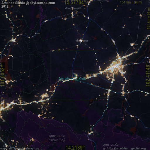
» Earth at Night: Flat Maps 2012, 2016