Kota Bharu night lights from space
Night Light of Kota Bharu (Kelantan) from space (Malaysia) Src. Average luminocity for 10x10km area is 90.7087% and for 50x50km: 27.3969%.
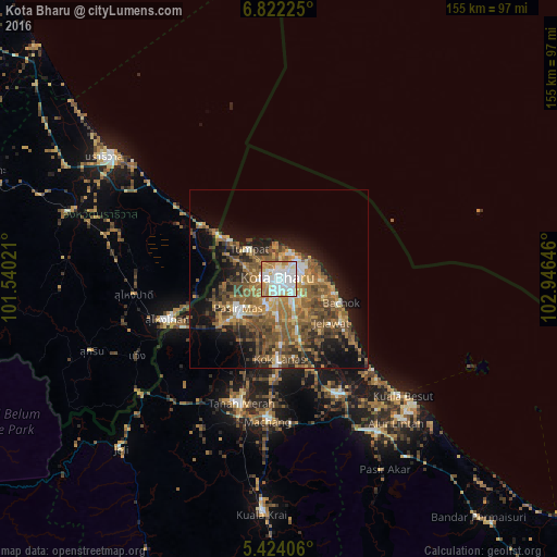
Analysis of Kota Bharu night lights 2016
Square area 10x10 km:
 41.53%
90-99
26.03%80-89
9.3%70-79
13.43%60-69
8.26%50-59
0.62%40-49
0.83%30-39
0%20-29
0%10-19
0%0-9
0%Square area 50x50 km:
2.99%90-99
3.18%80-89
2.31%70-79
4.54%60-69
6.42%50-59
7.75%40-49
6.04%30-39
3.64%20-29
5.35%10-19
11.43%0-9
46.34%Clear (daylight) street map image can be seen on geolist.org.
Map coordinates:
6° 49' 20.1" North, 101° 32' 24.8" East
6° 7' 25" North, 102° 14' 36" East
5° 25' 26.6" North, 102° 56' 47.3" East
Some cities around Kota Bharu sort by population:
• Su-ngai Kolok, TH
32.4 km =20.1 mi,  251°
251°
• Kampong Pangkal Kalong
23.2 km =14.4 mi,  187°
187°
• Tanah Merah
37.4 km =23.2 mi,  196°
196°
• Peringat
11 km =6.8 mi,  156°
156°
• Kampong Kadok
13.8 km =8.6 mi,  176°
176°
• Pasir Mas
14.1 km =8.8 mi,  234°
234°
• Tak Bai, TH
25.8 km =16 mi,  305°
305°
• Tumpat
11.5 km =7.1 mi,  315°
315°
1736376 (p: 1,459,994)
Sources (retrieved 2019-11-25):
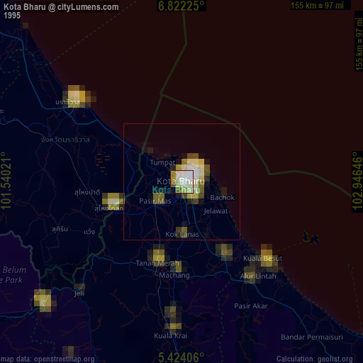
» NASA, Earths city lights 1995
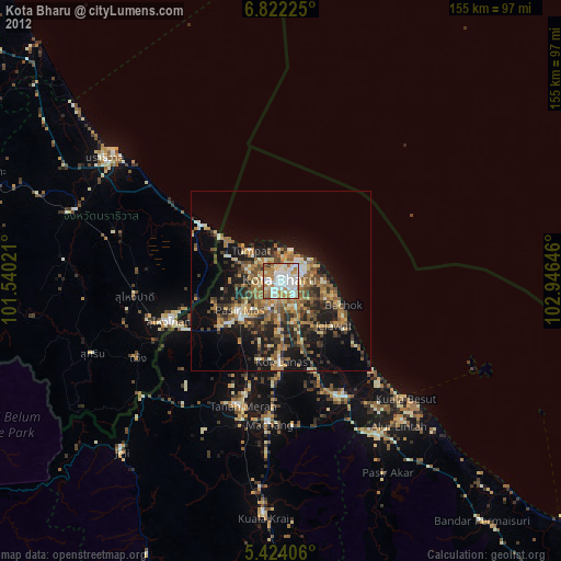
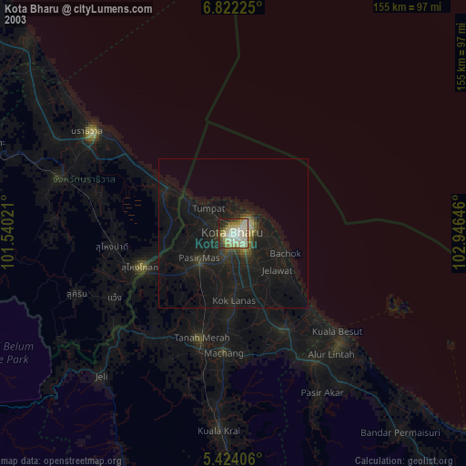
» NASA city lights 2003
» Earth at Night: Flat Maps 2012, 2016