Pathum Thani night lights from space
Night Light of Pathum Thani from space (Thailand) Src. Average luminocity for 10x10km area is 86.3701% and for 50x50km: 71.7155%.

Analysis of Pathum Thani night lights 2016
Square area 10x10 km:
 20.35%
90-99
25.11%80-89
23.16%70-79
21%60-69
9.96%50-59
0.43%40-49
0%30-39
0%20-29
0%10-19
0%0-9
0%Square area 50x50 km:
22.66%90-99
16.33%80-89
13.08%70-79
11.85%60-69
8.63%50-59
5.31%40-49
4.36%30-39
3.98%20-29
3.29%10-19
3.55%0-9
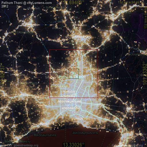
6.96%Clear (daylight) street map image can be seen on geolist.org.
Map coordinates:
14° 41' 40.7" North, 99° 49' 38.5" East
14° 0' 48.5" North, 100° 31' 49.8" East
13° 19' 48.9" North, 101° 14' 1" East
Some cities around Pathum Thani sort by population:
• Mueang Nonthaburi
17.1 km =10.6 mi,  185°
185°
• Pak Kret
11.7 km =7.3 mi,  197°
197°
• Khlong Luang
13.7 km =8.5 mi,  65°
65°
• Bang Kruai
24 km =14.9 mi, 195°
• Bang Bua Thong
15.7 km =9.8 mi,  227°
227°
• Ban Bang Kadi Pathum Thani
2.6 km =1.6 mi,  127°
127°
• Bang Pa-in
24.3 km =15.1 mi,  11°
11°
• Bang Yai
26.2 km =16.3 mi,  223°
223°
1607983 (p: 24,547)
Sources (retrieved 2019-11-25):
» Earth at Night: Flat Maps 2012, 2016