Krabi night lights from space
Night Light of Krabi from space (Thailand) Src. Average luminocity for 10x10km area is 41.9793% and for 50x50km: 6.5088%.
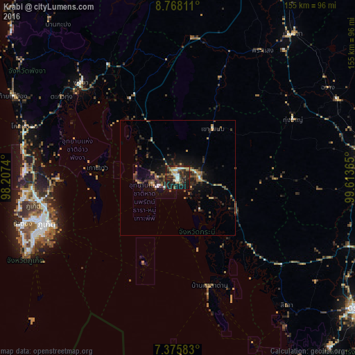
Analysis of Krabi night lights 2016
Square area 10x10 km:
 3.31%
3.31%90-99
8.88%80-89
7.64%70-79
3.93%60-69
4.13%50-59
5.37%40-49
5.99%30-39
9.09%20-29
23.97%10-19
27.07%0-9
0.62%Square area 50x50 km:
0.29%90-99
0.58%80-89
0.71%70-79
0.83%60-69
0.73%50-59
1.14%40-49
1.27%30-39
1.66%20-29
2.74%10-19
5.28%0-9
84.76%Clear (daylight) street map image can be seen on geolist.org.
Map coordinates:
8° 46' 5.2" North, 98° 12' 26.6" East
8° 4' 21.3" North, 98° 54' 37.9" East
7° 22' 33" North, 99° 36' 49.1" East
Some cities around Krabi sort by population:
• Ban Ratsada
58.8 km =36.5 mi,  252°
252°
• Nuea Khlong
9.8 km =6.1 mi,  90°
90°
• Ban Ko Kaeo
58.6 km =36.4 mi, 254°
• Ao Luek
39.8 km =24.7 mi,  328°
328°
• Ban Ao Nang
11.4 km =7.1 mi, 254°
• Saladan
52.9 km =32.9 mi,  164°
164°
• Chai Buri
47 km =29.2 mi,  22°
22°
• Ban Phru Nai
37.7 km =23.4 mi, 249°
1152633 (p: 31,219)
Sources (retrieved 2019-11-25):
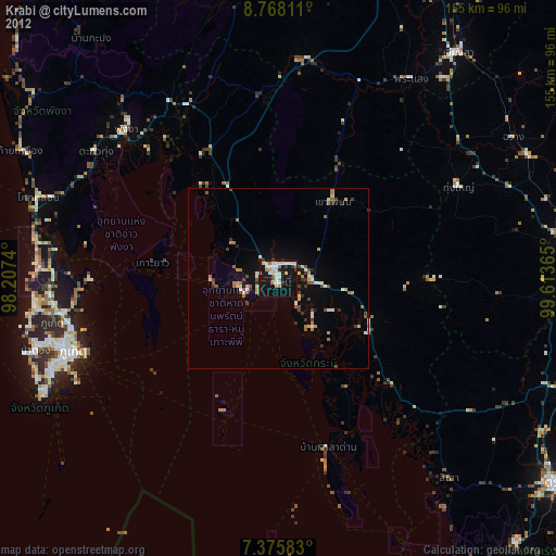
» Earth at Night: Flat Maps 2012, 2016