Ko Pha Ngan night lights from space
Night Light of Ko Pha Ngan (Surat Thani) from space (Thailand) Src. Average luminocity for 10x10km area is 10.1883% and for 50x50km: 2.8329%.
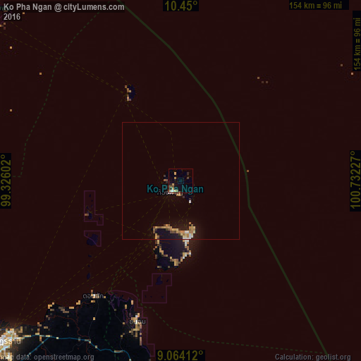
Analysis of Ko Pha Ngan night lights 2016
Square area 10x10 km:
 0.43%
0.43%90-99
1.3%80-89
1.52%70-79
1.95%60-69
1.3%50-59
1.73%40-49
1.3%30-39
0.87%20-29
3.03%10-19
1.95%0-9
84.63%Square area 50x50 km:
0.23%90-99
0.25%80-89
0.38%70-79
0.6%60-69
0.45%50-59
0.37%40-49
0.28%30-39
0.35%20-29
0.35%10-19
2.15%0-9
94.58%Clear (daylight) street map image can be seen on geolist.org.
Map coordinates:
10° 27' 0" North, 99° 19' 33.7" East
9° 45' 28" North, 100° 1' 44.9" East
9° 3' 50.8" North, 100° 43' 56.2" East
Some cities around Ko Pha Ngan sort by population:
• Surat Thani
102.7 km =63.8 mi,  228°
228°
• Chumphon
124 km =77.1 mi,  311°
311°
• Ko Samui
26.7 km =16.6 mi,  202°
202°
• Tha Kham
113.2 km =70.3 mi, 230°
• Lang Suan
106.2 km =66 mi,  281°
281°
• Don Sak
61.4 km =38.2 mi,  217°
217°
• Ban Nam Yuen
128.1 km =79.6 mi, 275°
• Chaiya
100 km =62.1 mi,  245°
245°
6698658 (p: 11,846)
Sources (retrieved 2019-11-25):
» Earth at Night: Flat Maps 2012, 2016