Chaiyaphum night lights from space
Night Light of Chaiyaphum from space (Thailand) Src. Average luminocity for 10x10km area is 44.4351% and for 50x50km: 4.2857%.
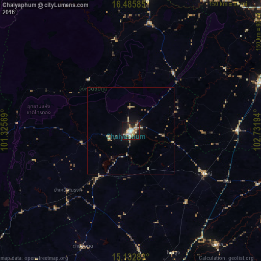
Analysis of Chaiyaphum night lights 2016
Square area 10x10 km:
 5.84%
5.84%90-99
8.23%80-89
7.14%70-79
5.19%60-69
10.39%50-59
3.25%40-49
3.25%30-39
8.01%20-29
9.52%10-19
36.36%0-9
2.81%Square area 50x50 km:
0.22%90-99
0.53%80-89
0.67%70-79
0.52%60-69
0.65%50-59
0.44%40-49
0.61%30-39
1.02%20-29
0.84%10-19
3.02%0-9
91.47%Clear (daylight) street map image can be seen on geolist.org.
Map coordinates:
16° 29' 9.1" North, 101° 19' 32.5" East
15° 48' 37.7" North, 102° 1' 43.7" East
15° 7' 58.2" North, 102° 43' 55" East
Some cities around Chaiyaphum sort by population:
• Kaeng Khro
41.2 km =25.6 mi,  36°
36°
• Phu Khiao
63.8 km =39.6 mi,  9°
9°
• Kaset Sombun
52.9 km =32.9 mi,  351°
351°
• Bua Yai
49.3 km =30.6 mi,  120°
120°
• Bamnet Narong
49.9 km =31 mi,  226°
226°
• Phon
61.1 km =38 mi,  89°
89°
• Non Thai
68.5 km =42.6 mi,  176°
176°
• Kham Sakae Saeng
55.4 km =34.4 mi,  163°
163°
1611407 (p: 58,350)
Sources (retrieved 2019-11-25):
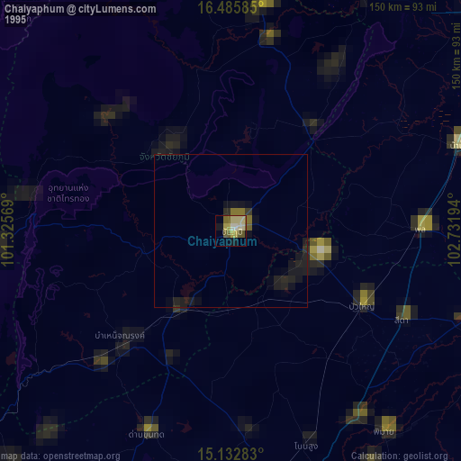
» NASA, Earths city lights 1995
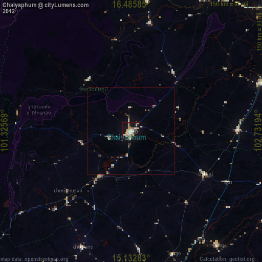
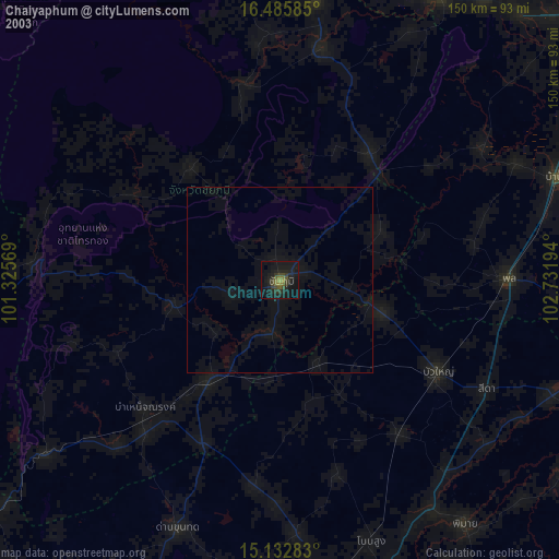
» NASA city lights 2003
» Earth at Night: Flat Maps 2012, 2016