Phanat Nikhom night lights from space
Night Light of Phanat Nikhom (Chon Buri) from space (Thailand) Src. Average luminocity for 10x10km area is 35.562% and for 50x50km: 34.3874%.
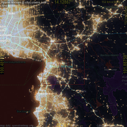
Analysis of Phanat Nikhom night lights 2016
Square area 10x10 km:
 0.83%
0.83%90-99
0.83%80-89
2.07%70-79
1.86%60-69
10.12%50-59
13.02%40-49
12.6%30-39
9.3%20-29
16.53%10-19
30.17%0-9
2.69%Square area 50x50 km:
3.6%90-99
3.71%80-89
4.22%70-79
4.89%60-69
6.7%50-59
7.74%40-49
7.06%30-39
7.55%20-29
9.46%10-19
18.39%0-9
26.68%Clear (daylight) street map image can be seen on geolist.org.
Map coordinates:
14° 7' 43.2" North, 100° 28' 52.8" East
13° 26' 44.9" North, 101° 11' 4" East
12° 45' 39.6" North, 101° 53' 15.3" East
Some cities around Phanat Nikhom sort by population:
• Chon Buri
23.6 km =14.7 mi,  246°
246°
• Si Racha
40.8 km =25.4 mi,  222°
222°
• Chachoengsao
29.6 km =18.4 mi,  335°
335°
• Bang Pakong
23.3 km =14.5 mi,  297°
297°
• Ban Bueng
16.9 km =10.5 mi,  207°
207°
• Phan Thong
10 km =6.2 mi,  284°
284°
• Phanom Sarakham
38.1 km =23.7 mi,  27°
27°
• Bang Khla
30.8 km =19.1 mi,  4°
4°
1607838 (p: 21,924)
Sources (retrieved 2019-11-25):
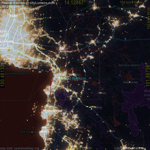
» Earth at Night: Flat Maps 2012, 2016