Bueng Kan night lights from space
Night Light of Bueng Kan from space (Thailand) Src. Average luminocity for 10x10km area is 35.6467% and for 50x50km: 2.5216%.
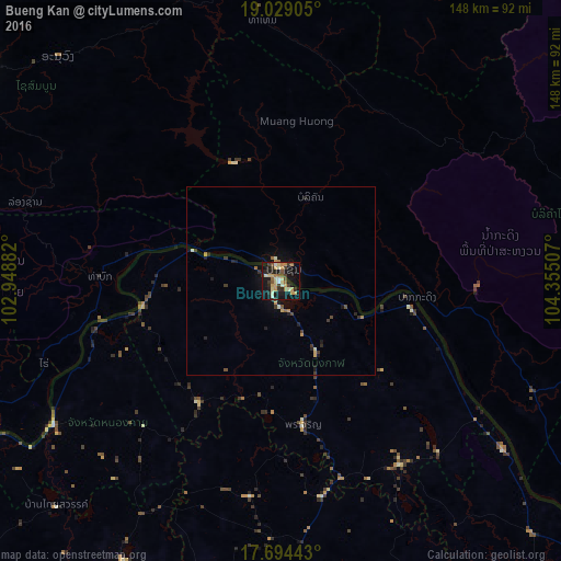
Analysis of Bueng Kan night lights 2016
Square area 10x10 km:
 1.65%
1.65%90-99
5.79%80-89
6.4%70-79
8.88%60-69
4.34%50-59
3.93%40-49
3.31%30-39
7.44%20-29
5.79%10-19
39.26%0-9
13.22%Square area 50x50 km:
0.06%90-99
0.35%80-89
0.26%70-79
0.58%60-69
0.3%50-59
0.2%40-49
0.3%30-39
0.63%20-29
0.54%10-19
2.38%0-9
94.38%Clear (daylight) street map image can be seen on geolist.org.
Map coordinates:
19° 1' 44.6" North, 102° 56' 55.8" East
18° 21' 46.9" North, 103° 39' 7" East
17° 41' 39.9" North, 104° 21' 18.3" East
Some cities around Bueng Kan sort by population:
• Vientiane, LA
119.6 km =74.3 mi,  248°
248°
• Nong Khai
110.2 km =68.5 mi,  240°
240°
• Pakxan, LA
3.6 km =2.2 mi,  15°
15°
• Ban Dung
84.7 km =52.6 mi,  209°
209°
• Sawang Daen Din
100.8 km =62.6 mi,  191°
191°
• Seka
58 km =36 mi,  146°
146°
• Phon Charoen
63 km =39.1 mi,  234°
234°
• Na Wa
108.1 km =67.2 mi, 153°
1611475 (p: 9,712)
Sources (retrieved 2019-11-25):
» Earth at Night: Flat Maps 2012, 2016