Seka night lights from space
Night Light of Seka (Bueng Kan) from space (Thailand) Src. Average luminocity for 10x10km area is 11.355% and for 50x50km: 1.4736%.
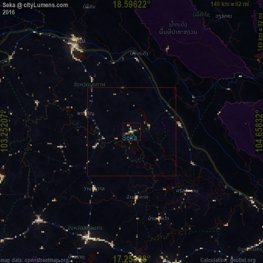
Analysis of Seka night lights 2016
Square area 10x10 km:
 0%
0%90-99
0.65%80-89
1.95%70-79
0.22%60-69
3.68%50-59
1.73%40-49
2.6%30-39
4.33%20-29
2.6%10-19
0.87%0-9
81.39%Square area 50x50 km:
0%90-99
0.05%80-89
0.21%70-79
0.09%60-69
0.34%50-59
0.23%40-49
0.41%30-39
0.65%20-29
0.47%10-19
0.23%0-9
97.33%Clear (daylight) street map image can be seen on geolist.org.
Map coordinates:
18° 35' 46.4" North, 103° 15' 7.5" East
17° 55' 42.6" North, 103° 57' 18.7" East
17° 15' 29.8" North, 104° 39' 30" East
Some cities around Seka sort by population:
• Sakon Nakhon
87.7 km =54.5 mi,  166°
166°
• Nakhon Phanom
104.5 km =64.9 mi,  123°
123°
• Pakxan, LA
60.4 km =37.5 mi,  329°
329°
• Ban Dung
77.9 km =48.4 mi,  250°
250°
• Sawang Daen Din
72.9 km =45.3 mi,  226°
226°
• Phon Charoen
84.2 km =52.3 mi,  277°
277°
• Na Wa
51.2 km =31.8 mi,  162°
162°
• Bueng Kan
58 km =36 mi, 326°
1606343 (p: 16,493)
Sources (retrieved 2019-11-25):
» Earth at Night: Flat Maps 2012, 2016