Sattahip night lights from space
Night Light of Sattahip (Chon Buri) from space (Thailand) Src. Average luminocity for 10x10km area is 41.5996% and for 50x50km: 17.8461%.
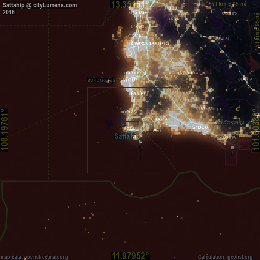
Analysis of Sattahip night lights 2016
Square area 10x10 km:
 2.16%
2.16%90-99
4.76%80-89
4.55%70-79
4.33%60-69
6.93%50-59
14.5%40-49
12.34%30-39
11.9%20-29
10.39%10-19
19.7%0-9
8.44%Square area 50x50 km:
1.31%90-99
1.54%80-89
4.15%70-79
3.25%60-69
3.05%50-59
3.19%40-49
3.46%30-39
3.59%20-29
5.68%10-19
6.75%0-9
64.03%Clear (daylight) street map image can be seen on geolist.org.
Map coordinates:
13° 21' 5.4" North, 100° 11' 51.4" East
12° 39' 59.2" North, 100° 54' 2.6" East
11° 58' 46.3" North, 101° 36' 13.9" East
Some cities around Sattahip sort by population:
• Si Racha
56.5 km =35.1 mi,  3°
3°
• Rayong
38.8 km =24.1 mi,  87°
87°
• Pattaya
29.7 km =18.5 mi,  356°
356°
• Bang Lamung
42.4 km =26.3 mi, 4°
• Ban Chang
18 km =11.2 mi,  68°
68°
• Ban Talat Bueng
46.4 km =28.8 mi,  13°
13°
• Ban Bueng
75.2 km =46.7 mi,  17°
17°
• Ban Phe
58.4 km =36.3 mi, 94°
1606386 (p: 65,444)
Sources (retrieved 2019-11-25):
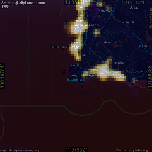
» NASA, Earths city lights 1995
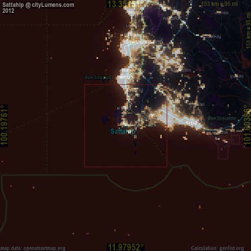
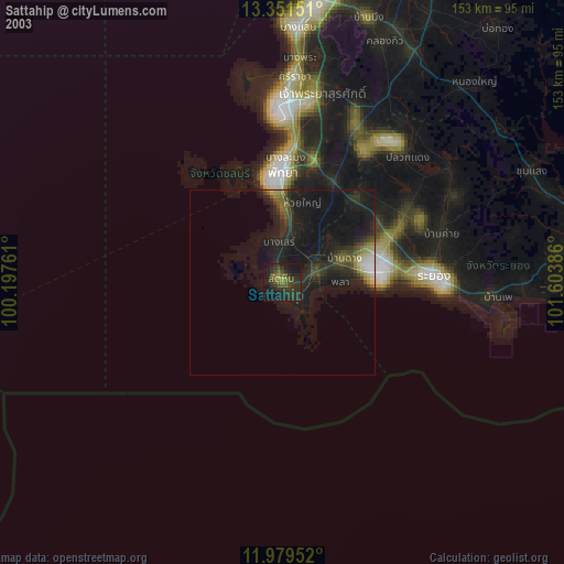
» NASA city lights 2003
» Earth at Night: Flat Maps 2012, 2016