Jayrūd night lights from space
Night Light of Jayrūd (Rif-dimashq) from space (Syria) Src. Average luminocity for 10x10km area is 5.6031% and for 50x50km: 3.8912%.
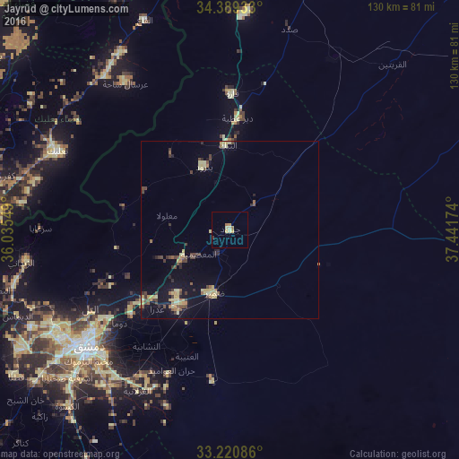
Analysis of Jayrūd night lights 2016
Square area 10x10 km:
 0%
0%90-99
0%80-89
2.1%70-79
2.1%60-69
1.4%50-59
0%40-49
0%30-39
0.7%20-29
0%10-19
0%0-9
93.71%Square area 50x50 km:
0%90-99
0.04%80-89
1.31%70-79
0.53%60-69
0.4%50-59
0.48%40-49
0.82%30-39
0.75%20-29
0.44%10-19
2.28%0-9
92.94%Clear (daylight) street map image can be seen on geolist.org.
Map coordinates:
34° 23' 21.6" North, 36° 2' 7.8" East
33° 48' 25.5" North, 36° 44' 19" East
33° 13' 15.1" North, 37° 26' 30.3" East
Some cities around Jayrūd sort by population:
• Douma
40.6 km =25.2 mi,  229°
229°
• At Tall
45.2 km =28.1 mi,  241°
241°
• An Nabk
24.1 km =15 mi,  357°
357°
• ‘Irbīn
45.7 km =28.4 mi, 228°
• Yabrūd
19.5 km =12.1 mi,  337°
337°
• Ḩarastā
44.2 km =27.5 mi, 231°
• Qārah
38.8 km =24.1 mi,  0°
0°
• Al Quţayfah
14.9 km =9.3 mi, 239°
169113 (p: 32,352)
Sources (retrieved 2019-11-25):
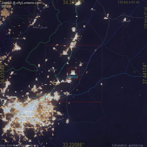
» Earth at Night: Flat Maps 2012, 2016