As Salamīyah night lights from space
Night Light of As Salamīyah (Hama) from space (Syria) Src. Average luminocity for 10x10km area is 9.3007% and for 50x50km: 1.7379%.
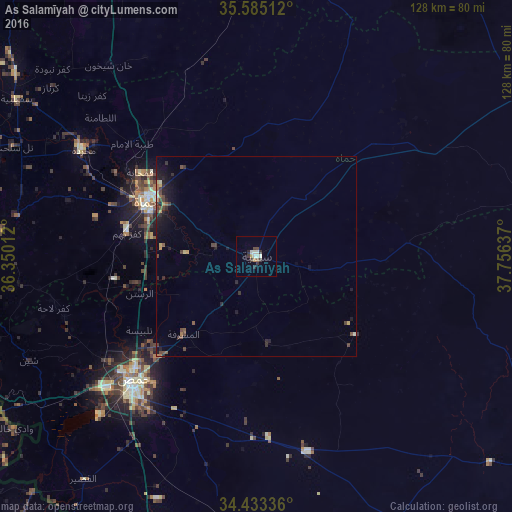
Analysis of As Salamīyah night lights 2016
Square area 10x10 km:
 0%
0%90-99
4.2%80-89
0.52%70-79
0.17%60-69
0.7%50-59
0.7%40-49
1.4%30-39
3.32%20-29
1.57%10-19
0%0-9
87.41%Square area 50x50 km:
0%90-99
0.24%80-89
0.15%70-79
0.16%60-69
0.18%50-59
0.26%40-49
0.55%30-39
0.41%20-29
0.6%10-19
1.26%0-9
96.2%Clear (daylight) street map image can be seen on geolist.org.
Map coordinates:
35° 35' 6.4" North, 36° 21' 0.4" East
35° 0' 40.6" North, 37° 3' 11.7" East
34° 26' 0.1" North, 37° 45' 22.9" East
Some cities around As Salamīyah sort by population:
• Homs
43.7 km =27.2 mi,  223°
223°
• Ḩamāh
30 km =18.6 mi,  296°
296°
• Ar Rastan
30.7 km =19.1 mi,  252°
252°
• Tallbīsah
35 km =21.7 mi,  237°
237°
• Souran
41.7 km =25.9 mi,  318°
318°
• Ţayyibat al Imām
42 km =26.1 mi,  312°
312°
• Al Ghanţū
38.8 km =24.1 mi, 237°
• Mukharram al Fawqānī
22 km =13.7 mi,  172°
172°
164947 (p: 94,887)
Sources (retrieved 2019-11-25):
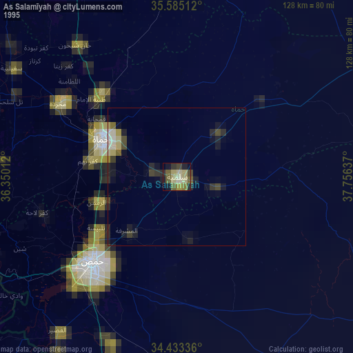
» NASA, Earths city lights 1995
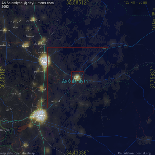
» NASA city lights 2003
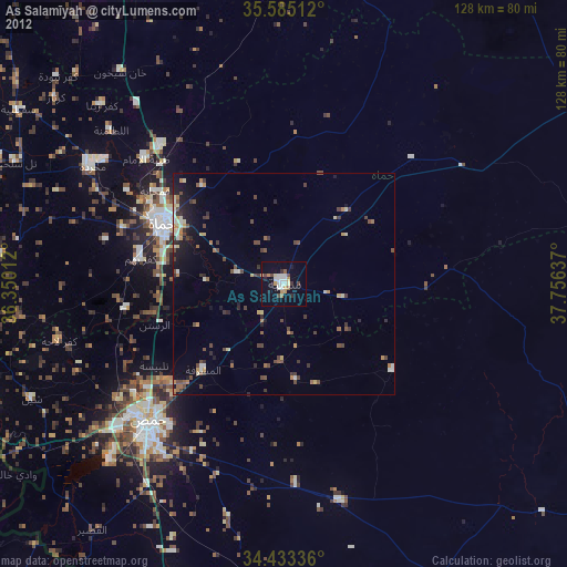
» Earth at Night: Flat Maps 2012, 2016