Aş Şanamayn night lights from space
Night Light of Aş Şanamayn (Daraa) from space (Syria) Src. Average luminocity for 10x10km area is 0.8864% and for 50x50km: 1.1448%.
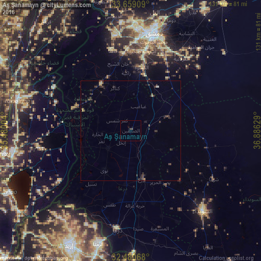
Analysis of Aş Şanamayn night lights 2016
Square area 10x10 km:
 0%
0%90-99
0%80-89
0%70-79
0%60-69
0%50-59
0%40-49
0.73%30-39
0.73%20-29
0.18%10-19
1.28%0-9
97.07%Square area 50x50 km:
0.04%90-99
0.02%80-89
0.1%70-79
0.12%60-69
0.04%50-59
0.18%40-49
0.46%30-39
0.58%20-29
0.53%10-19
0.45%0-9
97.48%Clear (daylight) street map image can be seen on geolist.org.
Map coordinates:
33° 39' 32.7" North, 35° 28' 48.1" East
33° 4' 18.7" North, 36° 10' 59.4" East
32° 28' 50.4" North, 36° 53' 10.6" East
Some cities around Aş Şanamayn sort by population:
• Al Qunayţirah
33.9 km =21.1 mi,  280°
280°
• Ţafas
38.8 km =24.1 mi,  196°
196°
• Jāsim
14.5 km =9 mi,  232°
232°
• Inkhil
7.9 km =4.9 mi,  220°
220°
• Ash Shaykh Miskīn
27 km =16.8 mi,  184°
184°
• Al Ḩarāk
37.8 km =23.5 mi,  161°
161°
• Al Kiswah
32.3 km =20.1 mi,  9°
9°
• Izra‘
23.3 km =14.5 mi, 163°
172469 (p: 25,702)
Sources (retrieved 2019-11-25):
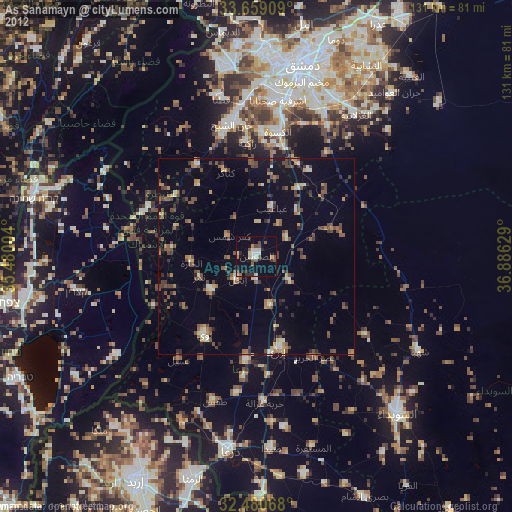
» Earth at Night: Flat Maps 2012, 2016