Al Qunayţirah night lights from space
Night Light of Al Qunayţirah (Quneitra) from space (Syria) Src. Average luminocity for 10x10km area is 5.7253% and for 50x50km: 12.2296%.
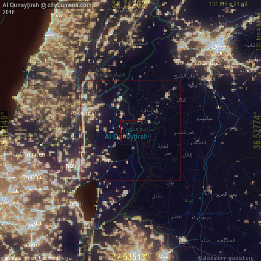
Analysis of Al Qunayţirah night lights 2016
Square area 10x10 km:
 0.37%
0.37%90-99
0.37%80-89
0.73%70-79
0%60-69
0.37%50-59
1.28%40-49
2.01%30-39
1.65%20-29
1.28%10-19
1.1%0-9
90.84%Square area 50x50 km:
0.54%90-99
0.83%80-89
3.3%70-79
1.43%60-69
1.23%50-59
1.37%40-49
2.97%30-39
2.67%20-29
4.44%10-19
7.56%0-9
73.67%Clear (daylight) street map image can be seen on geolist.org.
Map coordinates:
33° 42' 46.2" North, 35° 7' 17.4" East
33° 7' 33.4" North, 35° 49' 28.6" East
32° 32' 6.5" North, 36° 31' 39.9" East
Some cities around Al Qunayţirah sort by population:
• Nabatîyé et Tahta, LB
42.4 km =26.3 mi,  311°
311°
• Habboûch, LB
44.7 km =27.8 mi, 314°
• Jāsim
26.5 km =16.5 mi,  124°
124°
• Inkhil
30.7 km =19.1 mi,  112°
112°
• Safed, IL
35.5 km =22.1 mi,  239°
239°
• Aş Şanamayn
33.9 km =21.1 mi,  100°
100°
• Qiryat Shemona, IL
25.2 km =15.7 mi,  291°
291°
• Qaţanā
41.9 km =26 mi,  34°
34°
173334 (p: 36,143)
Sources (retrieved 2019-11-25):
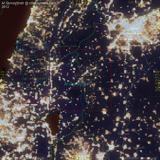
» Earth at Night: Flat Maps 2012, 2016