Sonsonate night lights from space
Night Light of Sonsonate from space (El Salvador) Src. Average luminocity for 10x10km area is 26.1798% and for 50x50km: 3.7191%.
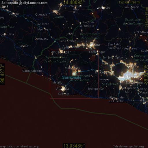
Analysis of Sonsonate night lights 2016
Square area 10x10 km:
 1.03%
1.03%90-99
1.65%80-89
4.75%70-79
2.48%60-69
9.92%50-59
1.86%40-49
7.02%30-39
3.1%20-29
5.79%10-19
20.45%0-9
41.94%Square area 50x50 km:
0.07%90-99
0.25%80-89
0.59%70-79
0.45%60-69
0.83%50-59
0.64%40-49
0.86%30-39
0.45%20-29
0.61%10-19
1.84%0-9
93.41%Clear (daylight) street map image can be seen on geolist.org.
Map coordinates:
14° 24' 3.4" North, 90° 25' 38.3" West
13° 43' 8" North, 89° 43' 27" West
13° 2' 5.5" North, 89° 1' 15.8" West
Some cities around Sonsonate sort by population:
• Acajutla
17.9 km =11.1 mi,  218°
218°
• Izalco
6.2 km =3.9 mi,  62°
62°
• Sonzacate
2 km =1.2 mi,  30°
30°
• Armenia
24.5 km =15.2 mi,  83°
83°
• Juayúa
13.8 km =8.6 mi,  350°
350°
• San Antonio del Monte
1.6 km =1 mi,  259°
259°
• Concepción de Ataco
21.5 km =13.4 mi,  321°
321°
• Nahuizalco
6.7 km =4.2 mi, 348°
3583102 (p: 59,468)
Sources (retrieved 2019-11-25):
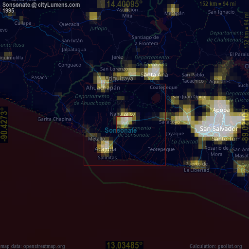
» NASA, Earths city lights 1995
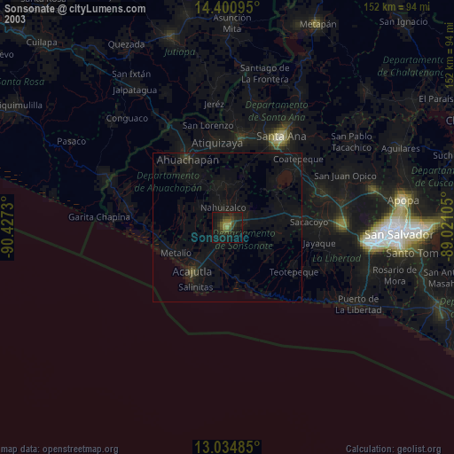
» NASA city lights 2003
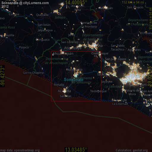
» Earth at Night: Flat Maps 2012, 2016