Kismayo night lights from space
Night Light of Kismayo (Lower Juba) from space (Somalia) Src. Average luminocity for 10x10km area is 3.119% and for 50x50km: 0.1247%.
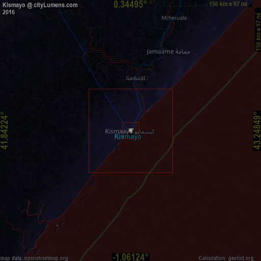
Analysis of Kismayo night lights 2016
Square area 10x10 km:
 0%
0%90-99
0%80-89
0%70-79
0%60-69
1.95%50-59
1.52%40-49
1.73%30-39
0%20-29
0%10-19
0%0-9
94.81%Square area 50x50 km:
0%90-99
0%80-89
0%70-79
0%60-69
0.08%50-59
0.06%40-49
0.07%30-39
0%20-29
0%10-19
0%0-9
99.79%Clear (daylight) street map image can be seen on geolist.org.
Map coordinates:
0° 20' 41.8" North, 41° 50' 32.1" East
0° 21' 29.4" South, 42° 32' 43.3" East
1° 3' 40.5" South, 43° 14' 54.6" East
Some cities around Kismayo sort by population:
• Jamaame
52.5 km =32.6 mi,  25°
25°
• Garissa, KE
322.5 km =200.4 mi,  268°
268°
• Jilib
97.8 km =60.8 mi,  15°
15°
• Baardheere
302 km =187.7 mi,  354°
354°
• Lamu, KE
280.4 km =174.2 mi,  220°
220°
• Saacow
221.1 km =137.4 mi,  356°
356°
• Hola, KE
306 km =190.1 mi,  245°
245°
• Bu’aale
160.3 km =99.6 mi,  1°
1°
55671 (p: 234,852)
Sources (retrieved 2019-11-25):
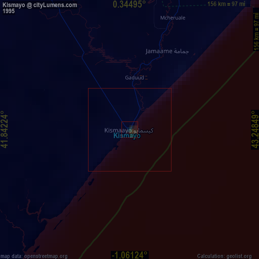
» NASA, Earths city lights 1995
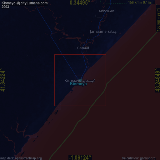
» NASA city lights 2003
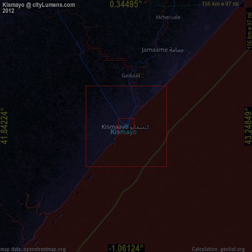
» Earth at Night: Flat Maps 2012, 2016