Jilib night lights from space
Night Light of Jilib (Middle Juba) from space (Somalia) Src. Average luminocity for 10x10km area is 0% and for 50x50km: 0%.

Analysis of Jilib night lights 2016
Square area 10x10 km:
 0%
0%90-99
0%80-89
0%70-79
0%60-69
0%50-59
0%40-49
0%30-39
0%20-29
0%10-19
0%0-9
100%Square area 50x50 km:
0%90-99
0%80-89
0%70-79
0%60-69
0%50-59
0%40-49
0%30-39
0%20-29
0%10-19
0%0-9
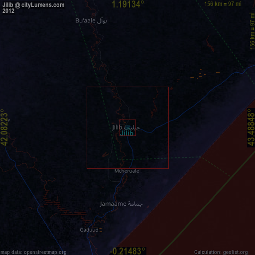
100%Clear (daylight) street map image can be seen on geolist.org.
Map coordinates:
1° 11' 28.8" North, 42° 4' 56" East
0° 29' 17.8" North, 42° 47' 7.3" East
0° 12' 53.4" South, 43° 29' 18.5" East
Some cities around Jilib sort by population:
• Kismayo
97.8 km =60.8 mi,  195°
195°
• Marka
259.6 km =161.3 mi,  58°
58°
• Jamaame
46.8 km =29.1 mi,  185°
185°
• Qoryooley
241.9 km =150.3 mi,  53°
53°
• Baardheere
214 km =133 mi,  344°
344°
• Buurhakaba
294.7 km =183.1 mi,  29°
29°
• Saacow
132.4 km =82.3 mi, 343°
• Bu’aale
69.9 km =43.4 mi, 341°
56166 (p: 43,694)
Sources (retrieved 2019-11-25):
» Earth at Night: Flat Maps 2012, 2016