Lamu night lights from space
Night Light of Lamu from space (Kenya) Src. Average luminocity for 10x10km area is 2.1255% and for 50x50km: 0.2207%.
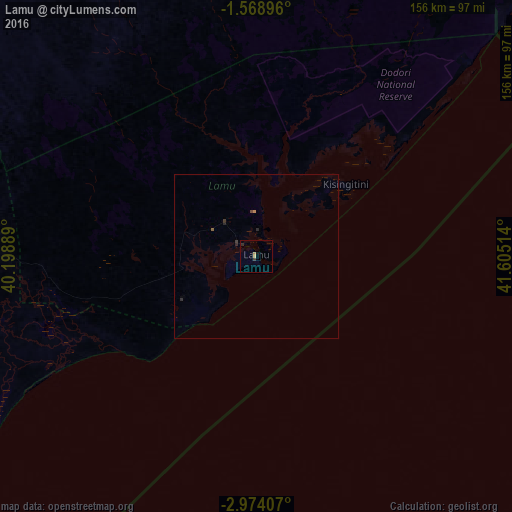
Analysis of Lamu night lights 2016
Square area 10x10 km:
100  0%
0%
90-99 0%
80-89 0%
70-79 1.73%
60-69 0%
50-59 0%
40-49 0%
30-39 0.87%
20-29 0.87%
10-19 0%
0-9 96.54%
0%90-99
0%80-89
0%70-79
1.73%60-69
0%50-59
0%40-49
0%30-39
0.87%20-29
0.87%10-19
0%0-9
96.54%Square area 50x50 km:
100 0%
90-99 0%
80-89 0%
70-79 0.1%
60-69 0%
50-59 0.03%
40-49 0.03%
30-39 0.1%
20-29 0.17%
10-19 0%
0-9 99.55%
0%90-99
0%80-89
0%70-79
0.1%60-69
0%50-59
0.03%40-49
0.03%30-39
0.1%20-29
0.17%10-19
0%0-9
99.55%Clear (daylight) street map image can be seen on geolist.org.
Map coordinates:
1° 34' 8.3" South, 40° 11' 56" East
2° 16' 18.1" South, 40° 54' 7.2" East
2° 58' 26.7" South, 41° 36' 18.5" East
Some cities around Lamu sort by population:
• Mombasa
241.3 km =149.9 mi,  214°
214°
• Malindi
136.7 km =84.9 mi,  219°
219°
• Garissa
245.8 km =152.7 mi,  325°
325°
• Kilifi
191 km =118.7 mi, 217°
• Mariakani
237.5 km =147.6 mi, 221°
• Takaungu
195.2 km =121.3 mi, 216°
• Hola
130.4 km =81 mi,  312°
312°
• Witu
53.1 km =33 mi,  255°
255°
189741 (p: 24,525)
Sources (retrieved 2019-11-25):
» Earth at Night: Flat Maps 2012, 2016