Jamaame night lights from space
Night Light of Jamaame (Lower Juba) from space (Somalia) Src. Average luminocity for 10x10km area is 0% and for 50x50km: 0%.
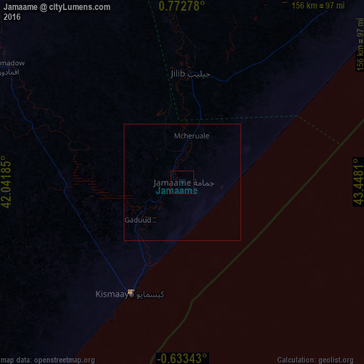
Analysis of Jamaame night lights 2016
Square area 10x10 km:
 0%
0%90-99
0%80-89
0%70-79
0%60-69
0%50-59
0%40-49
0%30-39
0%20-29
0%10-19
0%0-9
100%Square area 50x50 km:
0%90-99
0%80-89
0%70-79
0%60-69
0%50-59
0%40-49
0%30-39
0%20-29
0%10-19
0%0-9
100%Clear (daylight) street map image can be seen on geolist.org.
Map coordinates:
0° 46' 22" North, 42° 2' 30.7" East
0° 4' 10.8" North, 42° 44' 41.9" East
0° 38' 0.3" South, 43° 26' 53.2" East
Some cities around Jamaame sort by population:
• Kismayo
52.5 km =32.6 mi,  205°
205°
• Marka
290.3 km =180.4 mi,  50°
50°
• Qoryooley
275.5 km =171.2 mi, 46°
• Jilib
46.8 km =29.1 mi,  5°
5°
• Baardheere
258.3 km =160.5 mi,  348°
348°
• Lamu, KE
331.3 km =205.9 mi,  218°
218°
• Saacow
176.5 km =109.7 mi, 348°
• Bu’aale
114.1 km =70.9 mi, 350°
56399 (p: 185,270)
Sources (retrieved 2019-11-25):
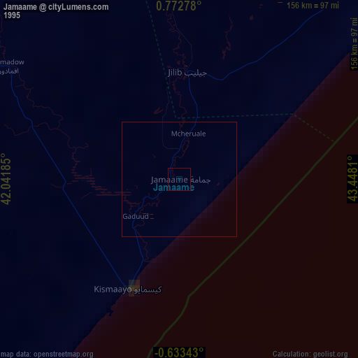
» NASA, Earths city lights 1995
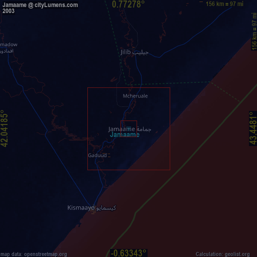
» NASA city lights 2003
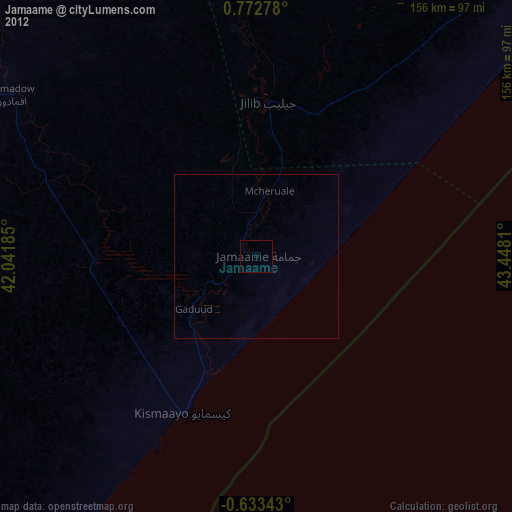
» Earth at Night: Flat Maps 2012, 2016