Sokone night lights from space
Night Light of Sokone (Fatick) from space (Senegal) Src. Average luminocity for 10x10km area is 0.9215% and for 50x50km: 0.0374%.
Analysis of Sokone night lights 2016
Square area 10x10 km:
 0%
0%90-99
0%80-89
0%70-79
0%60-69
0%50-59
0%40-49
0.41%30-39
1.03%20-29
1.03%10-19
0.21%0-9
97.31%Square area 50x50 km:
0%90-99
0%80-89
0%70-79
0%60-69
0%50-59
0%40-49
0.02%30-39
0.04%20-29
0.04%10-19
0.01%0-9
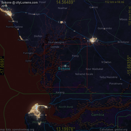
99.89%Clear (daylight) street map image can be seen on geolist.org.
Map coordinates:
14° 33' 53.6" North, 17° 4' 11.3" West
13° 52' 60" North, 16° 22' 0" West
13° 11' 59.1" North, 15° 39' 48.8" West
Some cities around Sokone sort by population:
• Kaolack
43.6 km =27.1 mi,  46°
46°
• Ndofane
46.9 km =29.1 mi,  85°
85°
• Gandiaye
40.4 km =25.1 mi,  15°
15°
• Diofior
46.5 km =28.9 mi,  315°
315°
• Passi
15.5 km =9.6 mi,  44°
44°
• Essau, GM
48 km =29.8 mi,  202°
202°
• Barra, GM
48.5 km =30.1 mi, 203°
• Foundiougne
29.8 km =18.5 mi,  338°
338°
2245241 (p: 11,680)
Sources (retrieved 2019-11-25):
» Earth at Night: Flat Maps 2012, 2016