Essau night lights from space
Night Light of Essau (North Bank) from space (Gambia) Src. Average luminocity for 10x10km area is 4.5372% and for 50x50km: 5.5008%.
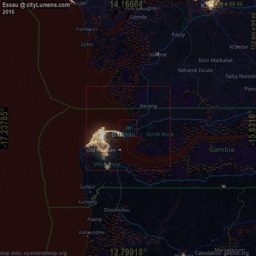
Analysis of Essau night lights 2016
Square area 10x10 km:
100  1.03%
1.03%
90-99 0.62%
80-89 0.83%
70-79 0%
60-69 0%
50-59 0.83%
40-49 1.65%
30-39 0%
20-29 1.24%
10-19 0.41%
0-9 93.39%
1.03%90-99
0.62%80-89
0.83%70-79
0%60-69
0%50-59
0.83%40-49
1.65%30-39
0%20-29
1.24%10-19
0.41%0-9
93.39%Square area 50x50 km:
100 0.23%
90-99 0.57%
80-89 0.68%
70-79 1.32%
60-69 0.92%
50-59 0.79%
40-49 1.22%
30-39 0.61%
20-29 1.55%
10-19 4.46%
0-9 87.64%
0.23%90-99
0.57%80-89
0.68%70-79
1.32%60-69
0.92%50-59
0.79%40-49
1.22%30-39
0.61%20-29
1.55%10-19
4.46%0-9
87.64%Clear (daylight) street map image can be seen on geolist.org.
Map coordinates:
14° 9' 59.9" North, 17° 14' 16.3" West
13° 29' 2" North, 16° 32' 5" West
12° 47' 57" North, 15° 49' 53.8" West
Some cities around Essau sort by population:
• Serekunda
16.3 km =10.1 mi,  251°
251°
• Brikama
26.7 km =16.6 mi,  207°
207°
• Bakau
15.9 km =9.9 mi,  267°
267°
• Banjul
5.8 km =3.6 mi,  233°
233°
• Lamin
18.3 km =11.4 mi,  143°
143°
• Sukuta
20.5 km =12.7 mi, 246°
• Abuko
15.8 km =9.8 mi,  235°
235°
• Barra
1.2 km =0.7 mi,  263°
263°
2413533 (p: 5,907)
Sources (retrieved 2019-11-25):
» Earth at Night: Flat Maps 2012, 2016