Bafatá night lights from space
Night Light of Bafatá from space (Guinea-Bissau) Src. Average luminocity for 10x10km area is 0.6343% and for 50x50km: 0.0258%.

Analysis of Bafatá night lights 2016
Square area 10x10 km:
100  0%
0%
90-99 0%
80-89 0%
70-79 0%
60-69 0%
50-59 0%
40-49 0%
30-39 1.65%
20-29 0%
10-19 0%
0-9 98.35%
0%90-99
0%80-89
0%70-79
0%60-69
0%50-59
0%40-49
0%30-39
1.65%20-29
0%10-19
0%0-9
98.35%Square area 50x50 km:
100 0%
90-99 0%
80-89 0%
70-79 0%
60-69 0%
50-59 0%
40-49 0%
30-39 0.07%
20-29 0%
10-19 0%
0-9 99.93%
0%90-99
0%80-89
0%70-79
0%60-69
0%50-59
0%40-49
0%30-39
0.07%20-29
0%10-19
0%0-9
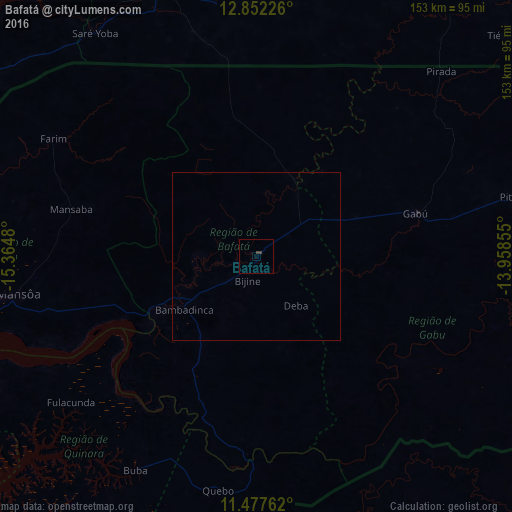
99.93%Clear (daylight) street map image can be seen on geolist.org.
Map coordinates:
12° 51' 8.1" North, 15° 21' 53.3" West
12° 9' 57" North, 14° 39' 42" West
11° 28' 39.4" North, 13° 57' 30.8" West
Some cities around Bafatá sort by population:
• Bissau
107.2 km =66.6 mi,  251°
251°
• Kolda, SN
86.5 km =53.7 mi,  339°
339°
• Gabú
49.4 km =30.7 mi,  75°
75°
• Bissorã
85.6 km =53.2 mi,  274°
274°
• Mansôa
72.2 km =44.9 mi,  261°
261°
• Buba
73.7 km =45.8 mi,  209°
209°
• Quebo
97.2 km =60.4 mi,  197°
197°
• Farim
70.4 km =43.7 mi,  300°
300°
2375254 (p: 22,521)
Sources (retrieved 2019-11-25):
» Earth at Night: Flat Maps 2012, 2016