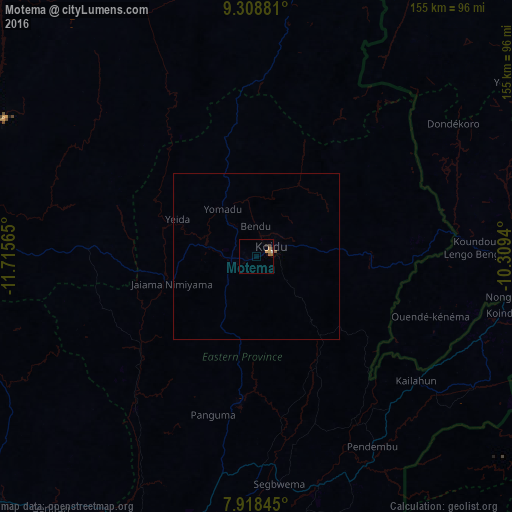
Motema night lights from space
Night Light of Motema (Eastern Province) from space (Sierra Leone) Src. Average luminocity for 10x10km area is 4.0558% and for 50x50km: 0.2322%.
Analysis of Motema night lights 2016
Square area 10x10 km:
 0.21%
0.21%90-99
0.21%80-89
0%70-79
1.65%60-69
1.45%50-59
0.62%40-49
0.83%30-39
0%20-29
1.24%10-19
0%0-9
93.8%Square area 50x50 km:
0.02%90-99
0.02%80-89
0%70-79
0.07%60-69
0.08%50-59
0.06%40-49
0.03%30-39
0%20-29
0.07%10-19
0%0-9
99.66%Clear (daylight) street map image can be seen on geolist.org.
Map coordinates:
9° 18' 31.7" North, 11° 42' 56.3" West
8° 36' 51.4" North, 11° 0' 45.1" West
7° 55' 6.4" North, 10° 18' 33.8" West
Some cities around Motema sort by population:
• Koidu
5.6 km =3.5 mi,  53°
53°
• Kailahun
61.1 km =38 mi,  127°
127°
• Yengema
20.6 km =12.8 mi,  302°
302°
• Pendembu
67.2 km =41.8 mi,  148°
148°
• Panguma
49.5 km =30.8 mi,  195°
195°
• Barma
45.7 km =28.4 mi,  229°
229°
• Boajibu
59.6 km =37 mi,  217°
217°
• Bunumbu
51.6 km =32.1 mi,  161°
161°
2405038 (p: 5,474)
Sources (retrieved 2019-11-25):
» Earth at Night: Flat Maps 2012, 2016