Barma night lights from space
Night Light of Barma (Eastern Province) from space (Sierra Leone) Src. Average luminocity for 10x10km area is 0% and for 50x50km: 0%.
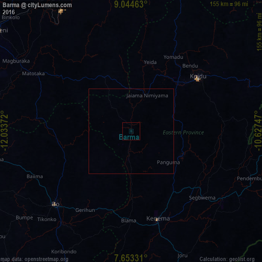
Analysis of Barma night lights 2016
Square area 10x10 km:
 0%
0%90-99
0%80-89
0%70-79
0%60-69
0%50-59
0%40-49
0%30-39
0%20-29
0%10-19
0%0-9
100%Square area 50x50 km:
0%90-99
0%80-89
0%70-79
0%60-69
0%50-59
0%40-49
0%30-39
0%20-29
0%10-19
0%0-9
100%Clear (daylight) street map image can be seen on geolist.org.
Map coordinates:
9° 2' 40.7" North, 12° 2' 1.4" West
8° 20' 58.5" North, 11° 19' 50.1" West
7° 39' 11.9" North, 10° 37' 38.9" West
Some cities around Barma sort by population:
• Koidu
51.3 km =31.9 mi,  50°
50°
• Yengema
44.2 km =27.5 mi,  23°
23°
• Blama
52.8 km =32.8 mi,  181°
181°
• Panguma
28.4 km =17.6 mi,  130°
130°
• Boajibu
18 km =11.2 mi, 183°
• Motema
45.7 km =28.4 mi, 49°
• Mamboma
49 km =30.4 mi,  233°
233°
• Hangha
50.1 km =31.1 mi,  155°
155°
2410312 (p: 7,529)
Sources (retrieved 2019-11-25):
» Earth at Night: Flat Maps 2012, 2016