Magburaka night lights from space
Night Light of Magburaka (Northern Province) from space (Sierra Leone) Src. Average luminocity for 10x10km area is 0% and for 50x50km: 0.124%.
Analysis of Magburaka night lights 2016
Square area 10x10 km:
 0%
0%90-99
0%80-89
0%70-79
0%60-69
0%50-59
0%40-49
0%30-39
0%20-29
0%10-19
0%0-9
100%Square area 50x50 km:
0%90-99
0%80-89
0%70-79
0%60-69
0%50-59
0.13%40-49
0.03%30-39
0%20-29
0.07%10-19
0.07%0-9
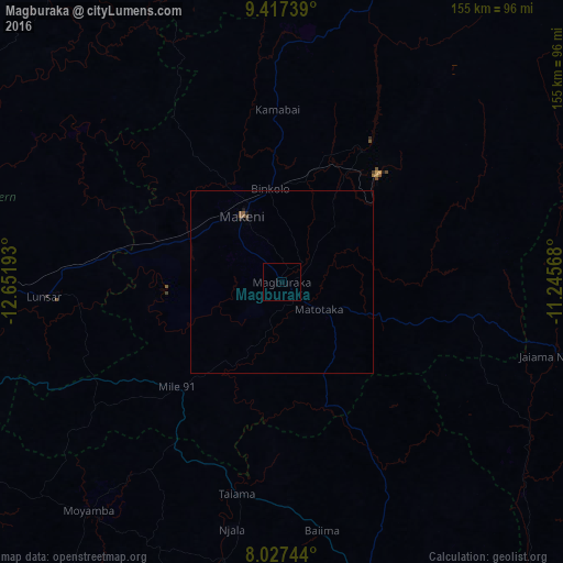
99.7%Clear (daylight) street map image can be seen on geolist.org.
Map coordinates:
9° 25' 2.6" North, 12° 39' 6.9" West
8° 43' 23" North, 11° 56' 55.7" West
8° 1' 38.8" North, 11° 14' 44.4" West
Some cities around Magburaka sort by population:
• Makeni
20.9 km =13 mi,  329°
329°
• Lunsar
64.6 km =40.1 mi,  266°
266°
• Binkolo
25.7 km =16 mi,  352°
352°
• Rokupr
48.3 km =30 mi,  263°
263°
• Barma
79.7 km =49.5 mi,  121°
121°
• Moyamba
82.2 km =51.1 mi,  220°
220°
• Masingbi
6.6 km =4.1 mi,  357°
357°
• Mamboma
76.3 km =47.4 mi,  157°
157°
2406576 (p: 14,915)
Sources (retrieved 2019-11-25):
» Earth at Night: Flat Maps 2012, 2016