Kamakwie night lights from space
Night Light of Kamakwie (Northern Province) from space (Sierra Leone) Src. Average luminocity for 10x10km area is 0% and for 50x50km: 0%.
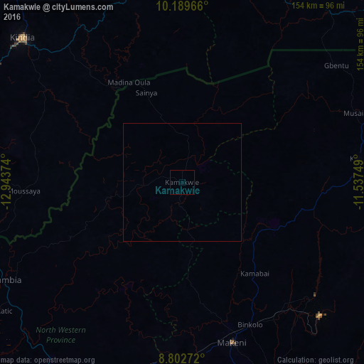
Analysis of Kamakwie night lights 2016
Square area 10x10 km:
 0%
0%90-99
0%80-89
0%70-79
0%60-69
0%50-59
0%40-49
0%30-39
0%20-29
0%10-19
0%0-9
100%Square area 50x50 km:
0%90-99
0%80-89
0%70-79
0%60-69
0%50-59
0%40-49
0%30-39
0%20-29
0%10-19
0%0-9
100%Clear (daylight) street map image can be seen on geolist.org.
Map coordinates:
10° 11' 22.8" North, 12° 56' 37.5" West
9° 29' 48.8" North, 12° 14' 26.2" West
8° 48' 9.8" North, 11° 32' 15" West
Some cities around Kamakwie sort by population:
• Kindia, GN
92.6 km =57.5 mi,  312°
312°
• Makeni
71.3 km =44.3 mi,  162°
162°
• Kabala
76.1 km =47.3 mi,  82°
82°
• Magburaka
91.8 km =57 mi, 159°
• Binkolo
67 km =41.6 mi,  154°
154°
• Kambia
85.1 km =52.9 mi,  240°
240°
• Kukuna
47.8 km =29.7 mi,  256°
256°
• Masingbi
85.6 km =53.2 mi, 158°
2408154 (p: 8,098)
Sources (retrieved 2019-11-25):
» Earth at Night: Flat Maps 2012, 2016