Zawoja night lights from space
Night Light of Zawoja (Lesser Poland) from space (Poland) Src. Average luminocity for 10x10km area is 0% and for 50x50km: 1.4161%.
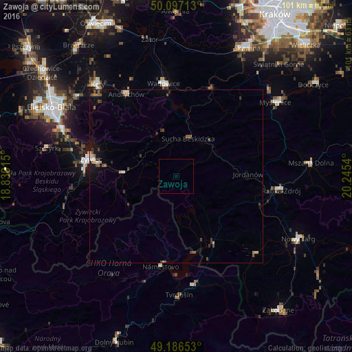
Analysis of Zawoja night lights 2016
Square area 10x10 km:
 0%
0%90-99
0%80-89
0%70-79
0%60-69
0%50-59
0%40-49
0%30-39
0%20-29
0%10-19
0%0-9
100%Square area 50x50 km:
0.13%90-99
0.14%80-89
0.13%70-79
0.12%60-69
0.19%50-59
0.32%40-49
0.34%30-39
0.33%20-29
0.07%10-19
0.89%0-9
97.35%Clear (daylight) street map image can be seen on geolist.org.
Map coordinates:
50° 5' 49.7" North, 18° 50' 20.9" East
49° 38' 38.3" North, 19° 32' 32.2" East
49° 11' 11.5" North, 20° 14' 43.4" East
Some cities around Zawoja sort by population:
• Żywiec
25.6 km =15.9 mi,  280°
280°
• Wadowice
26.9 km =16.7 mi,  352°
352°
• Sucha Beskidzka
11.5 km =7.1 mi,  18°
18°
• Námestovo, SK
26.6 km =16.5 mi,  189°
189°
• Maków Podhalański
13.6 km =8.5 mi,  45°
45°
• Chocznia
26.4 km =16.4 mi, 346°
• Stryszawa
7.8 km =4.8 mi, 349°
• Jordanów
20.7 km =12.9 mi,  88°
88°
3080508 (p: 6,200)
Sources (retrieved 2019-11-25):
» Earth at Night: Flat Maps 2012, 2016