Dubnica nad Váhom night lights from space
Night Light of Dubnica nad Váhom (Trenčiansky kraj) from space (Slovakia) Src. Average luminocity for 10x10km area is 18.3224% and for 50x50km: 4.0152%.
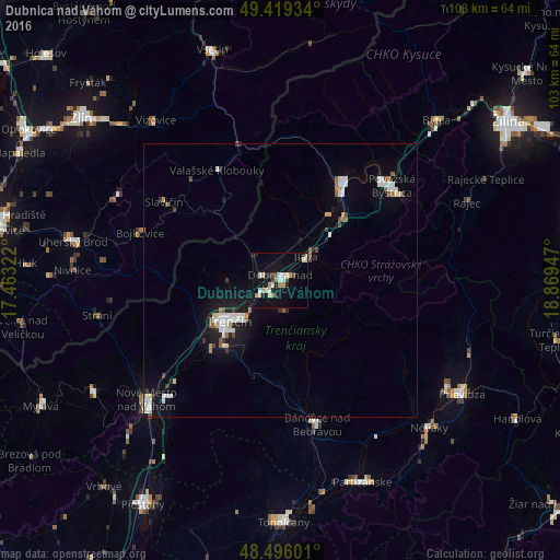
Analysis of Dubnica nad Váhom night lights 2016
Square area 10x10 km:
 2.56%
2.56%90-99
2.84%80-89
3.13%70-79
2.27%60-69
2.27%50-59
0.57%40-49
1.42%30-39
1.42%20-29
2.27%10-19
14.91%0-9
66.34%Square area 50x50 km:
0.82%90-99
0.81%80-89
0.28%70-79
0.27%60-69
0.28%50-59
0.45%40-49
0.28%30-39
0.37%20-29
0.36%10-19
3.09%0-9
92.98%Clear (daylight) street map image can be seen on geolist.org.
Map coordinates:
49° 25' 9.6" North, 17° 27' 47.6" East
48° 57' 35.3" North, 18° 9' 58.8" East
48° 29' 45.6" North, 18° 52' 10.1" East
Some cities around Dubnica nad Váhom sort by population:
• Trenčín
11.5 km =7.1 mi,  230°
230°
• Považská Bystrica
25.9 km =16.1 mi,  45°
45°
• Púchov
21.7 km =13.5 mi,  32°
32°
• Nová Dubnica
3.1 km =1.9 mi,  207°
207°
• Slavičín, CZ
25.7 km =16 mi,  303°
303°
• Nemšová
3.6 km =2.2 mi,  283°
283°
• Ilava
6.6 km =4.1 mi, 50°
• Valašské Klobouky, CZ
23.2 km =14.4 mi,  330°
330°
3060346 (p: 26,617)
Sources (retrieved 2019-11-25):
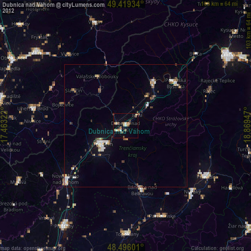
» Earth at Night: Flat Maps 2012, 2016