Valašské Klobouky night lights from space
Night Light of Valašské Klobouky (Zlín) from space (Czech Republic) Src. Average luminocity for 10x10km area is 1.2073% and for 50x50km: 2.9576%.
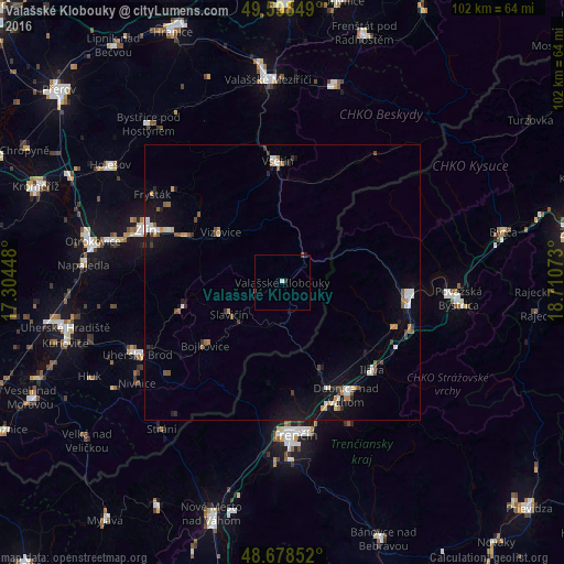
Analysis of Valašské Klobouky night lights 2016
Square area 10x10 km:
 0.28%
0.28%90-99
0.28%80-89
0%70-79
0%60-69
0%50-59
0%40-49
0.84%30-39
0.56%20-29
0.28%10-19
0%0-9
97.76%Square area 50x50 km:
0.43%90-99
0.41%80-89
0.18%70-79
0.34%60-69
0.3%50-59
0.44%40-49
0.36%30-39
0.38%20-29
0.32%10-19
2.42%0-9
94.44%Clear (daylight) street map image can be seen on geolist.org.
Map coordinates:
49° 35' 54.6" North, 17° 18' 16.1" East
49° 8' 26.3" North, 18° 0' 27.4" East
48° 40' 42.7" North, 18° 42' 38.6" East
Some cities around Valašské Klobouky sort by population:
• Vsetín
22 km =13.7 mi,  357°
357°
• Dubnica nad Váhom, SK
23.2 km =14.4 mi,  150°
150°
• Púchov, SK
23.2 km =14.4 mi,  94°
94°
• Nová Dubnica, SK
25 km =15.5 mi,  156°
156°
• Slavičín
11.4 km =7.1 mi,  239°
239°
• Nemšová, SK
20.9 km =13 mi, 157°
• Luhačovice
18.8 km =11.7 mi,  255°
255°
• Ilava, SK
23 km =14.3 mi,  133°
133°
3063448 (p: 5,201)
Sources (retrieved 2019-11-25):
» Earth at Night: Flat Maps 2012, 2016