Bratislava night lights from space
Night Light of Bratislava (Bratislavský kraj) from space (Slovakia) Src. Average luminocity for 10x10km area is 83.0714% and for 50x50km: 15.3604%.
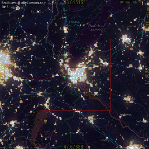
Analysis of Bratislava night lights 2016
Square area 10x10 km:
 41.67%
90-99
27.53%80-89
1.93%70-79
1.19%60-69
4.91%50-59
4.91%40-49
5.36%30-39
7.44%20-29
4.61%10-19
0.45%0-9
0%Square area 50x50 km:
3.21%90-99
3.15%80-89
0.88%70-79
1.11%60-69
1.55%50-59
1.66%40-49
1.75%30-39
2.46%20-29
4.96%10-19
11.16%0-9
68.11%Clear (daylight) street map image can be seen on geolist.org.
Map coordinates:
48° 36' 54.5" North, 16° 24' 13" East
48° 8' 53.4" North, 17° 6' 24.3" East
47° 40' 36.8" North, 17° 48' 35.5" East
Some cities around Bratislava sort by population:
• Pezinok
19.7 km =12.2 mi,  36°
36°
• Senec
23.2 km =14.4 mi,  69°
69°
• Šamorín
20 km =12.4 mi,  131°
131°
• Modra
25.4 km =15.8 mi, 35°
• Stupava
15.1 km =9.4 mi,  338°
338°
• Bruck an der Leitha, AT
29.2 km =18.1 mi,  239°
239°
• Hainburg an der Donau, AT
12 km =7.5 mi,  268°
268°
• Ivanka pri Dunaji
11.8 km =7.3 mi, 68°
3060972 (p: 423,737)
Sources (retrieved 2019-11-25):
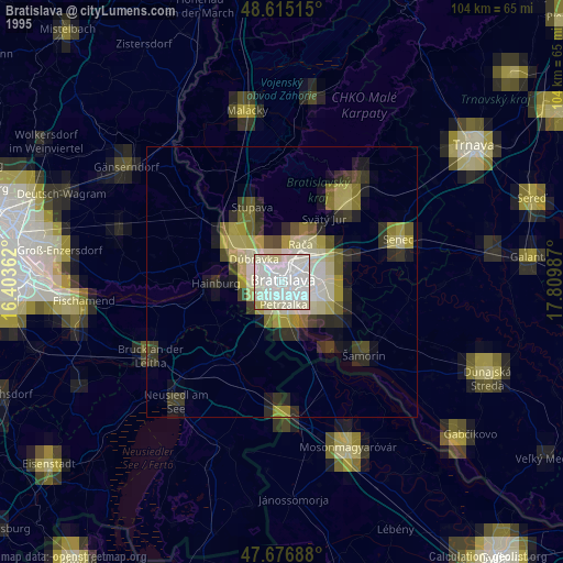
» NASA, Earths city lights 1995
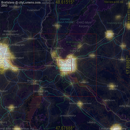
» NASA city lights 2003
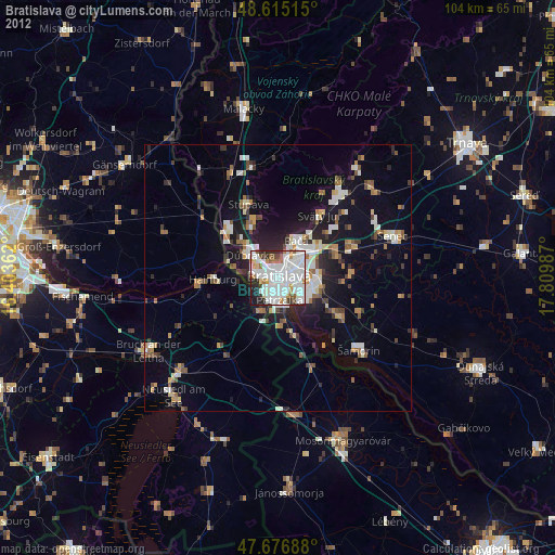
» Earth at Night: Flat Maps 2012, 2016