Edinburgh of the Seven Seas night lights from space
Night Light of Edinburgh of the Seven Seas (Tristan da Cunha) from space (Saint Helena) Src. Average luminocity for 10x10km area is 0% and for 50x50km: 0.0232%.
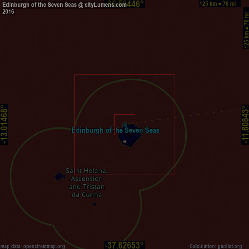
Analysis of Edinburgh of the Seven Seas night lights 2016
Square area 10x10 km:
 0%
0%90-99
0%80-89
0%70-79
0%60-69
0%50-59
0%40-49
0%30-39
0%20-29
0%10-19
0%0-9
100%Square area 50x50 km:
0%90-99
0%80-89
0%70-79
0%60-69
0%50-59
0.03%40-49
0%30-39
0.01%20-29
0.01%10-19
0%0-9
99.95%Clear (daylight) street map image can be seen on geolist.org.
Map coordinates:
36° 30' 16.1" South, 13° 0' 52.8" West
37° 4' 3.3" South, 12° 18' 41.6" West
37° 37' 35.5" South, 11° 36' 30.3" West
Some cities around Edinburgh of the Seven Seas sort by population:
• Cape Town, ZA
2791.9 km =1734.8 mi,  82°
82°
• Saldanha, ZA
2779.1 km =1726.9 mi, 80°
• Vredenburg, ZA
2786.7 km =1731.6 mi, 80°
• Retreat, ZA
2792.6 km =1735.2 mi, 83°
• Constantia, ZA
2788.2 km =1732.5 mi, 83°
• Newlands, ZA
2792.5 km =1735.2 mi, 82°
• Jamestown
2437.5 km =1514.6 mi,  15°
15°
• Grytviken, GS
2657 km =1651 mi,  224°
224°
3370726 (p: 271)
Sources (retrieved 2019-11-25):
» Earth at Night: Flat Maps 2012, 2016