Vallentuna night lights from space
Night Light of Vallentuna (Stockholm) from space (Sweden) Src. Average luminocity for 10x10km area is 34.1429% and for 50x50km: 26.6465%.
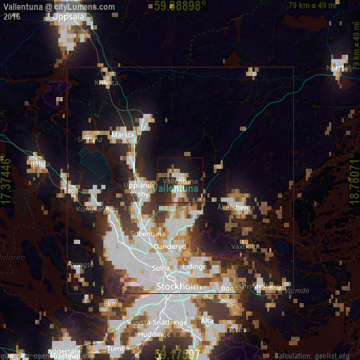
Analysis of Vallentuna night lights 2016
Square area 10x10 km:
 5.67%
5.67%90-99
5.44%80-89
3.4%70-79
4.2%60-69
4.42%50-59
3.74%40-49
2.04%30-39
3.97%20-29
20.98%10-19
28.34%0-9
17.8%Square area 50x50 km:
7.21%90-99
6.62%80-89
2.1%70-79
2.74%60-69
2.34%50-59
2.48%40-49
2.93%30-39
2.1%20-29
5.51%10-19
13.3%0-9
52.67%Clear (daylight) street map image can be seen on geolist.org.
Map coordinates:
59° 53' 20.3" North, 17° 22' 28.1" East
59° 32' 3.7" North, 18° 4' 39.3" East
59° 10' 33.5" North, 18° 46' 50.6" East
Some cities around Vallentuna sort by population:
• Sollentuna
13.8 km =8.6 mi,  211°
211°
• Täby
10.1 km =6.3 mi,  182°
182°
• Upplands Väsby
9.5 km =5.9 mi,  259°
259°
• Åkersberga
13.9 km =8.6 mi,  115°
115°
• Märsta
15.9 km =9.9 mi,  307°
307°
• Kista
16.4 km =10.2 mi, 207°
• Djursholm
15.1 km =9.4 mi, 184°
• Akalla
16.2 km =10.1 mi, 214°
2665452 (p: 31,937)
Sources (retrieved 2019-11-25):
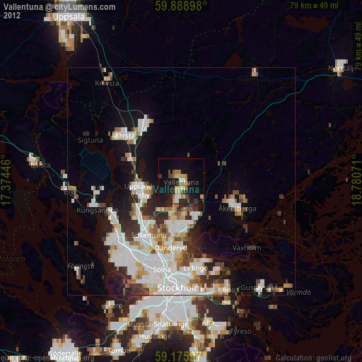
» Earth at Night: Flat Maps 2012, 2016