Orsa night lights from space
Night Light of Orsa (Dalarna) from space (Sweden) Src. Average luminocity for 10x10km area is 0.6353% and for 50x50km: 1.0503%.
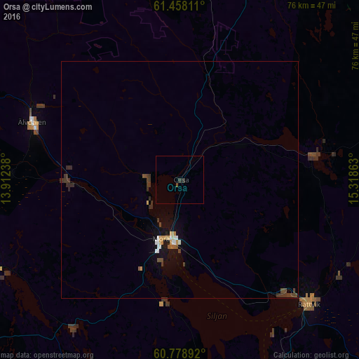
Analysis of Orsa night lights 2016
Square area 10x10 km:
 0%
0%90-99
0%80-89
0%70-79
0%60-69
0%50-59
0%40-49
0.43%30-39
0.32%20-29
0.97%10-19
0%0-9
98.27%Square area 50x50 km:
0.11%90-99
0.11%80-89
0.1%70-79
0.13%60-69
0.03%50-59
0.12%40-49
0.26%30-39
0.41%20-29
0.22%10-19
0.62%0-9
97.9%Clear (daylight) street map image can be seen on geolist.org.
Map coordinates:
61° 27' 29.2" North, 13° 54' 44.6" East
61° 7' 13.2" North, 14° 36' 55.8" East
60° 46' 44.1" North, 15° 19' 7.1" East
Some cities around Orsa sort by population:
• Borlänge
83.4 km =51.8 mi,  147°
147°
• Falun
79.3 km =49.3 mi,  136°
136°
• Bollnäs
98.5 km =61.2 mi,  75°
75°
• Mora
13.2 km =8.2 mi,  197°
197°
• Ljusdal
111.1 km =69 mi,  44°
44°
• Leksand
48.1 km =29.9 mi, 154°
• Hofors
110.8 km =68.8 mi,  125°
125°
• Rättvik
37.6 km =23.4 mi, 133°
2686380 (p: 5,349)
Sources (retrieved 2019-11-25):
» Earth at Night: Flat Maps 2012, 2016