Falun night lights from space
Night Light of Falun (Dalarna) from space (Sweden) Src. Average luminocity for 10x10km area is 41.532% and for 50x50km: 7.0995%.
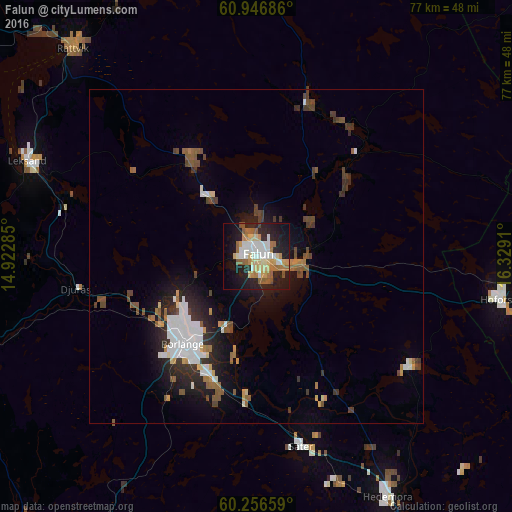
Analysis of Falun night lights 2016
Square area 10x10 km:
 7.13%
7.13%90-99
8.47%80-89
7.75%70-79
4.34%60-69
7.02%50-59
4.86%40-49
1.76%30-39
0.41%20-29
15.39%10-19
27.38%0-9
15.5%Square area 50x50 km:
1.54%90-99
1.02%80-89
0.57%70-79
0.54%60-69
0.72%50-59
1.13%40-49
1.03%30-39
0.98%20-29
2.03%10-19
4.37%0-9
86.05%Clear (daylight) street map image can be seen on geolist.org.
Map coordinates:
60° 56' 48.7" North, 14° 55' 22.3" East
60° 36' 12.9" North, 15° 37' 33.5" East
60° 15' 23.7" North, 16° 19' 44.8" East
Some cities around Falun sort by population:
• Borlänge
16.7 km =10.4 mi,  218°
218°
• Ludvika
55.9 km =34.7 mi,  205°
205°
• Avesta
59.1 km =36.7 mi,  150°
150°
• Hedemora
41.1 km =25.5 mi, 151°
• Leksand
36.9 km =22.9 mi,  292°
292°
• Hofors
36.7 km =22.8 mi,  100°
100°
• Smedjebacken
52.6 km =32.7 mi,  192°
192°
• Rättvik
41.8 km =26 mi,  318°
318°
2715459 (p: 37,000)
Sources (retrieved 2019-11-25):
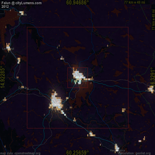
» Earth at Night: Flat Maps 2012, 2016