Mora night lights from space
Night Light of Mora (Dalarna) from space (Sweden) Src. Average luminocity for 10x10km area is 16.4876% and for 50x50km: 1.0957%.
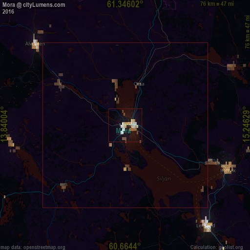
Analysis of Mora night lights 2016
Square area 10x10 km:
 2.69%
2.69%90-99
2.69%80-89
2.07%70-79
2.69%60-69
0.62%50-59
1.96%40-49
2.38%30-39
0.62%20-29
0.41%10-19
15.39%0-9
68.49%Square area 50x50 km:
0.11%90-99
0.11%80-89
0.1%70-79
0.16%60-69
0.03%50-59
0.11%40-49
0.18%30-39
0.49%20-29
0.31%10-19
0.62%0-9
97.79%Clear (daylight) street map image can be seen on geolist.org.
Map coordinates:
61° 20' 45.7" North, 13° 50' 24.1" East
61° 0' 25.3" North, 14° 32' 35.4" East
60° 39' 51.8" North, 15° 14' 46.6" East
Some cities around Mora sort by population:
• Borlänge
75.6 km =47 mi,  140°
140°
• Falun
73.9 km =45.9 mi,  127°
127°
• Ludvika
101.6 km =63.1 mi,  159°
159°
• Bollnäs
106.2 km =66 mi,  69°
69°
• Leksand
39.5 km =24.5 mi, 141°
• Orsa
13.2 km =8.2 mi,  17°
17°
• Smedjebacken
107.3 km =66.7 mi,  153°
153°
• Rättvik
33.8 km =21 mi,  113°
113°
2691400 (p: 12,602)
Sources (retrieved 2019-11-25):
» Earth at Night: Flat Maps 2012, 2016