Kristinehamn night lights from space
Night Light of Kristinehamn (Värmland) from space (Sweden) Src. Average luminocity for 10x10km area is 24.8052% and for 50x50km: 2.9391%.
Analysis of Kristinehamn night lights 2016
Square area 10x10 km:
 6.49%
6.49%90-99
4.98%80-89
2.16%70-79
2.81%60-69
1.3%50-59
2.16%40-49
1.52%30-39
0.65%20-29
3.03%10-19
29.65%0-9
45.24%Square area 50x50 km:
0.57%90-99
0.66%80-89
0.2%70-79
0.27%60-69
0.22%50-59
0.27%40-49
0.32%30-39
0.21%20-29
0.65%10-19
2.77%0-9
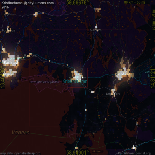
93.87%Clear (daylight) street map image can be seen on geolist.org.
Map coordinates:
59° 40' 0.3" North, 13° 24' 17.9" East
59° 18' 35.2" North, 14° 6' 29.1" East
58° 56' 56.4" North, 14° 48' 40.4" East
Some cities around Kristinehamn sort by population:
• Karlstad
35.1 km =21.8 mi,  282°
282°
• Karlskoga
23.7 km =14.7 mi,  85°
85°
• Skoghall
36.5 km =22.7 mi,  272°
272°
• Kil
49.8 km =30.9 mi,  295°
295°
• Degerfors
20 km =12.4 mi,  113°
113°
• Forshaga
42.8 km =26.6 mi, 304°
• Filipstad
44.9 km =27.9 mi,  4°
4°
• Skåre
40.6 km =25.2 mi,  289°
289°
2699282 (p: 18,557)
Sources (retrieved 2019-11-25):
» Earth at Night: Flat Maps 2012, 2016