Filipstad night lights from space
Night Light of Filipstad (Värmland) from space (Sweden) Src. Average luminocity for 10x10km area is 8.7716% and for 50x50km: 1.1641%.
Analysis of Filipstad night lights 2016
Square area 10x10 km:
 0.43%
0.43%90-99
1.84%80-89
0.54%70-79
1.52%60-69
1.73%50-59
0.43%40-49
1.95%30-39
1.73%20-29
0.65%10-19
0.22%0-9
88.96%Square area 50x50 km:
0.06%90-99
0.16%80-89
0.1%70-79
0.16%60-69
0.13%50-59
0.15%40-49
0.29%30-39
0.29%20-29
0.31%10-19
0.06%0-9
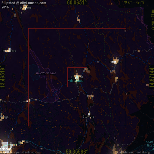
98.29%Clear (daylight) street map image can be seen on geolist.org.
Map coordinates:
60° 3' 54.4" North, 13° 27' 54.7" East
59° 42' 44.5" North, 14° 10' 5.9" East
59° 21' 21.1" North, 14° 52' 17.2" East
Some cities around Filipstad sort by population:
• Karlstad
52.7 km =32.7 mi,  225°
225°
• Karlskoga
47.3 km =29.4 mi,  154°
154°
• Kristinehamn
44.9 km =27.9 mi,  184°
184°
• Kil
53.5 km =33.2 mi,  244°
244°
• Degerfors
54.8 km =34.1 mi,  164°
164°
• Nora
53.5 km =33.2 mi,  113°
113°
• Forshaga
43.9 km =27.3 mi, 241°
• Skåre
51.7 km =32.1 mi, 233°
2715081 (p: 6,119)
Sources (retrieved 2019-11-25):
» Earth at Night: Flat Maps 2012, 2016