Karlstad night lights from space
Night Light of Karlstad (Värmland) from space (Sweden) Src. Average luminocity for 10x10km area is 54.3658% and for 50x50km: 5.2613%.
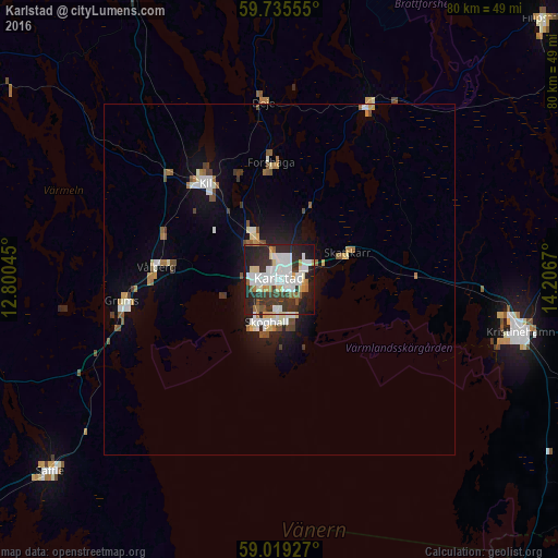
Analysis of Karlstad night lights 2016
Square area 10x10 km:
 16.34%
90-99
13.96%80-89
5.63%70-79
2.81%60-69
4.55%50-59
3.14%40-49
1.52%30-39
13.1%20-29
20.67%10-19
17.64%0-9
0.65%Square area 50x50 km:
0.97%90-99
1.11%80-89
0.47%70-79
0.37%60-69
0.56%50-59
0.61%40-49
0.52%30-39
0.79%20-29
1%10-19
3.17%0-9
90.44%Clear (daylight) street map image can be seen on geolist.org.
Map coordinates:
59° 44' 8" North, 12° 48' 1.6" East
59° 22' 45.5" North, 13° 30' 12.9" East
59° 1' 9.4" North, 14° 12' 24.1" East
Some cities around Karlstad sort by population:
• Kristinehamn
35.1 km =21.8 mi,  102°
102°
• Skoghall
6.6 km =4.1 mi,  199°
199°
• Säffle
42.7 km =26.5 mi,  229°
229°
• Kil
17.4 km =10.8 mi,  321°
321°
• Forshaga
16.3 km =10.1 mi,  355°
355°
• Filipstad
52.7 km =32.7 mi,  45°
45°
• Skåre
7.2 km =4.5 mi,  326°
326°
• Grums
22.5 km =14 mi,  262°
262°
2701680 (p: 61,492)
Sources (retrieved 2019-11-25):
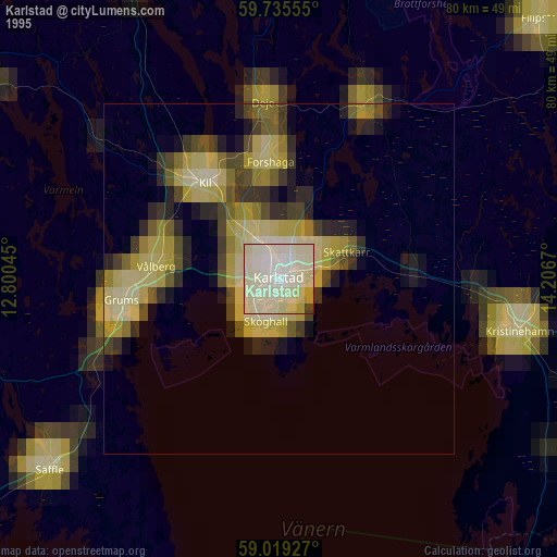
» NASA, Earths city lights 1995
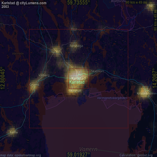
» NASA city lights 2003
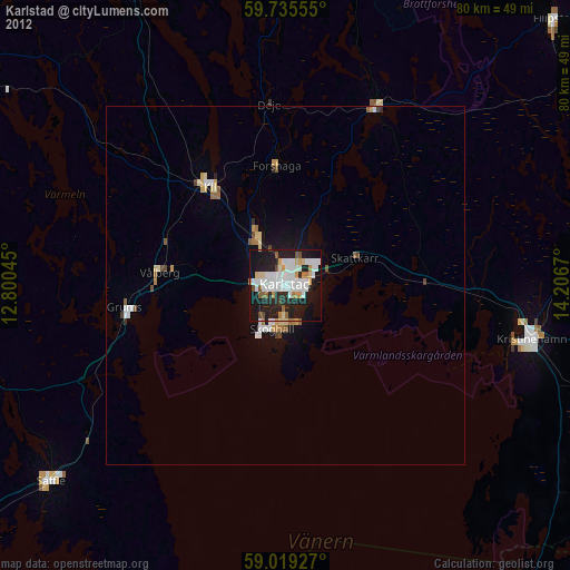
» Earth at Night: Flat Maps 2012, 2016