Gällivare night lights from space
Night Light of Gällivare (Norrbotten) from space (Sweden) Src. Average luminocity for 10x10km area is 16.8316% and for 50x50km: 1.1158%.
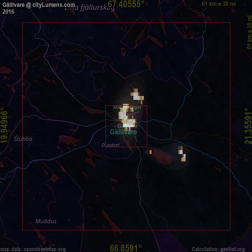
Analysis of Gällivare night lights 2016
Square area 10x10 km:
 2.38%
2.38%90-99
4.59%80-89
2.04%70-79
2.38%60-69
1.19%50-59
1.19%40-49
0.51%30-39
0.68%20-29
2.38%10-19
18.45%0-9
64.2%Square area 50x50 km:
0.16%90-99
0.25%80-89
0.11%70-79
0.13%60-69
0.07%50-59
0.14%40-49
0.06%30-39
0.05%20-29
0.12%10-19
1.23%0-9
97.66%Clear (daylight) street map image can be seen on geolist.org.
Map coordinates:
67° 24' 20" North, 19° 56' 58.8" East
67° 8' 1.9" North, 20° 39' 10" East
66° 51' 32.8" North, 21° 21' 21.3" East
Some cities around Gällivare sort by population:
• Luleå
184.9 km =114.9 mi,  158°
158°
• Kiruna
82.3 km =51.1 mi,  347°
347°
• Boden
152.6 km =94.8 mi, 162°
• Narvik, NO
198.5 km =123.3 mi,  316°
316°
• Kalix
180.6 km =112.2 mi,  142°
142°
• Malmberget
4.6 km =2.9 mi,  1°
1°
• Kittilä, FI
190.5 km =118.4 mi,  71°
71°
• Ylitornio, FI
161.5 km =100.4 mi,  124°
124°
606086 (p: 10,362)
Sources (retrieved 2019-11-25):
» Earth at Night: Flat Maps 2012, 2016