Ylitornio night lights from space
Night Light of Ylitornio (Lapland) from space (Finland) Src. Average luminocity for 10x10km area is 1.9108% and for 50x50km: 0.1904%.
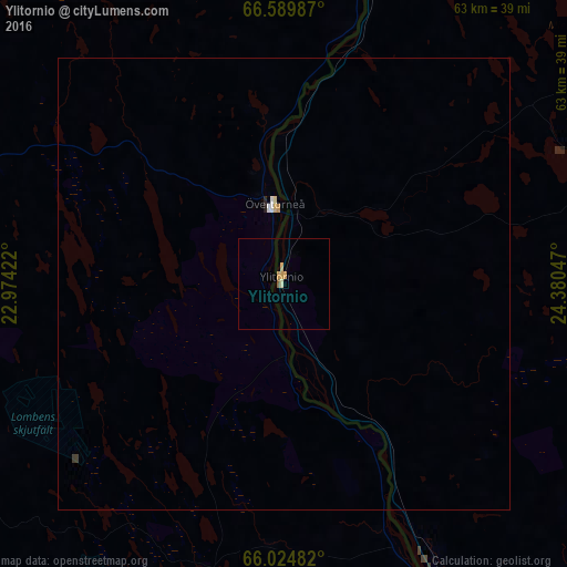
Analysis of Ylitornio night lights 2016
Square area 10x10 km:
 0%
0%90-99
0.25%80-89
0.42%70-79
1.01%60-69
0%50-59
0.34%40-49
0%30-39
0%20-29
0%10-19
0%0-9
97.98%Square area 50x50 km:
0.02%90-99
0.03%80-89
0.04%70-79
0.06%60-69
0%50-59
0.01%40-49
0%30-39
0.03%20-29
0.02%10-19
0%0-9
99.78%Clear (daylight) street map image can be seen on geolist.org.
Map coordinates:
66° 35' 23.5" North, 22° 58' 27.2" East
66° 18' 32.1" North, 23° 40' 38.4" East
66° 1' 29.4" North, 24° 22' 49.7" East
Some cities around Ylitornio sort by population:
• Luleå, SE
106.1 km =65.9 mi,  220°
220°
• Rovaniemi
93.2 km =57.9 mi,  76°
76°
• Kemi
75.2 km =46.7 mi,  147°
147°
• Tornio
55.4 km =34.4 mi,  157°
157°
• Boden, SE
104.6 km =65 mi,  239°
239°
• Keminmaa
68.7 km =42.7 mi, 145°
• Kalix, SE
55.9 km =34.7 mi,  204°
204°
• Haparanda, SE
56.6 km =35.2 mi, 158°
630779 (p: 5,104)
Sources (retrieved 2019-11-25):
» Earth at Night: Flat Maps 2012, 2016