Narvik night lights from space
Night Light of Narvik (Nordland) from space (Norway) Src. Average luminocity for 10x10km area is 9.9483% and for 50x50km: 0.57%.
Analysis of Narvik night lights 2016
Square area 10x10 km:
 1.65%
1.65%90-99
2.82%80-89
0.55%70-79
0.63%60-69
0.63%50-59
1.25%40-49
0.63%30-39
1.25%20-29
1.1%10-19
6.66%0-9
82.84%Square area 50x50 km:
0.08%90-99
0.14%80-89
0.03%70-79
0.05%60-69
0.05%50-59
0.14%40-49
0.03%30-39
0.05%20-29
0.06%10-19
0.29%0-9
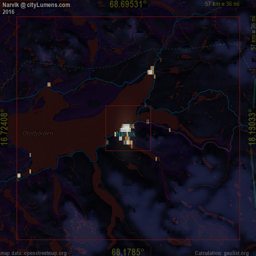
99.08%Clear (daylight) street map image can be seen on geolist.org.
Map coordinates:
68° 41' 43.1" North, 16° 43' 26.7" East
68° 26' 18.2" North, 17° 25' 37.9" East
68° 10' 42.6" North, 18° 7' 49.2" East
Some cities around Narvik sort by population:
• Tromsø
147.7 km =91.8 mi,  24°
24°
• Bodø
180.6 km =112.2 mi,  224°
224°
• Harstad
53.8 km =33.4 mi,  318°
318°
• Mo i Rana
274.9 km =170.8 mi,  210°
210°
• Kiruna, SE
132.7 km =82.5 mi,  119°
119°
• Gällivare, SE
198.5 km =123.3 mi,  136°
136°
• Malmberget, SE
195.1 km =121.2 mi, 136°
• Fauske
156.5 km =97.2 mi, 213°
3144987 (p: 14,114)
Sources (retrieved 2019-11-25):
» Earth at Night: Flat Maps 2012, 2016