Borås night lights from space
Night Light of Borås (Västra Götaland) from space (Sweden) Src. Average luminocity for 10x10km area is 42.1909% and for 50x50km: 4.1619%.
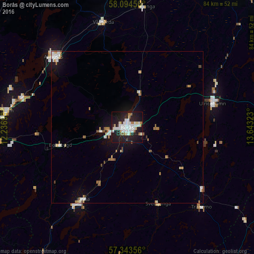
Analysis of Borås night lights 2016
Square area 10x10 km:
 12.16%
90-99
11.02%80-89
4.55%70-79
0.57%60-69
3.86%50-59
2.05%40-49
0.8%30-39
1.93%20-29
18.52%10-19
38.64%0-9
5.91%Square area 50x50 km:
0.79%90-99
0.91%80-89
0.38%70-79
0.29%60-69
0.61%50-59
0.39%40-49
0.32%30-39
0.09%20-29
0.76%10-19
3.36%0-9
92.1%Clear (daylight) street map image can be seen on geolist.org.
Map coordinates:
58° 5' 40.4" North, 12° 14' 13.1" East
57° 43' 15.6" North, 12° 56' 24.4" East
57° 20' 36.8" North, 13° 38' 35.6" East
Some cities around Borås sort by population:
• Lerum
40.2 km =25 mi,  277°
277°
• Alingsås
33.5 km =20.8 mi,  314°
314°
• Kinna
27.9 km =17.3 mi,  211°
211°
• Ulricehamn
29.2 km =18.1 mi,  74°
74°
• Landvetter
43.4 km =27 mi,  264°
264°
• Gråbo
40.1 km =24.9 mi,  288°
288°
• Fristad
12.3 km =7.6 mi,  19°
19°
• Vårgårda
36 km =22.4 mi,  347°
347°
2720501 (p: 71,700)
Sources (retrieved 2019-11-25):
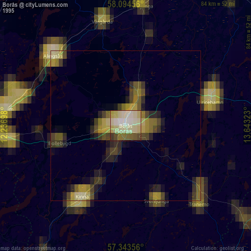
» NASA, Earths city lights 1995
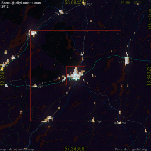
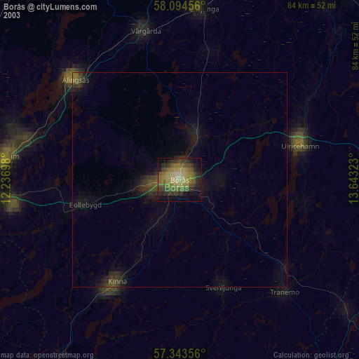
» NASA city lights 2003
» Earth at Night: Flat Maps 2012, 2016