Kinna night lights from space
Night Light of Kinna (Västra Götaland) from space (Sweden) Src. Average luminocity for 10x10km area is 13.5298% and for 50x50km: 3.1772%.
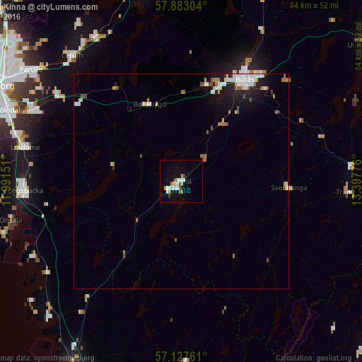
Analysis of Kinna night lights 2016
Square area 10x10 km:
 2.38%
2.38%90-99
3.69%80-89
1.31%70-79
1.43%60-69
0.71%50-59
1.31%40-49
1.19%30-39
0.36%20-29
0%10-19
8.69%0-9
78.93%Square area 50x50 km:
0.64%90-99
0.69%80-89
0.26%70-79
0.23%60-69
0.43%50-59
0.42%40-49
0.3%30-39
0.08%20-29
0.47%10-19
2.04%0-9
94.44%Clear (daylight) street map image can be seen on geolist.org.
Map coordinates:
57° 52' 58.9" North, 11° 59' 29.4" East
57° 30' 26.2" North, 12° 41' 40.7" East
57° 7' 39.4" North, 13° 23' 51.9" East
Some cities around Kinna sort by population:
• Borås
27.9 km =17.3 mi,  31°
31°
• Lerum
38.7 km =24 mi,  319°
319°
• Kungsbacka
37 km =23 mi,  266°
266°
• Mölnlycke
38.3 km =23.8 mi,  296°
296°
• Lindome
37.1 km =23.1 mi,  280°
280°
• Landvetter
35 km =21.7 mi, 304°
• Åsa
38.8 km =24.1 mi,  243°
243°
• Fristad
40 km =24.9 mi, 28°
2700839 (p: 15,019)
Sources (retrieved 2019-11-25):
» Earth at Night: Flat Maps 2012, 2016