Vårgårda night lights from space
Night Light of Vårgårda (Västra Götaland) from space (Sweden) Src. Average luminocity for 10x10km area is 6.025% and for 50x50km: 1.8516%.
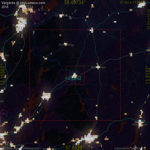
Analysis of Vårgårda night lights 2016
Square area 10x10 km:
 0.95%
0.95%90-99
1.43%80-89
1.43%70-79
0.48%60-69
0.71%50-59
0.71%40-49
0%30-39
0%20-29
0%10-19
0%0-9
94.29%Square area 50x50 km:
0.36%90-99
0.43%80-89
0.23%70-79
0.14%60-69
0.21%50-59
0.18%40-49
0.12%30-39
0.04%20-29
0.01%10-19
1.2%0-9
97.08%Clear (daylight) street map image can be seen on geolist.org.
Map coordinates:
58° 24' 26.4" North, 12° 6' 21.4" East
58° 2' 13.4" North, 12° 48' 32.7" East
57° 39' 46.4" North, 13° 30' 43.9" East
Some cities around Vårgårda sort by population:
• Borås
36 km =22.4 mi,  167°
167°
• Trollhättan
41 km =25.5 mi,  311°
311°
• Lerum
43.5 km =27 mi,  227°
227°
• Alingsås
20.1 km =12.5 mi, 233°
• Falköping
46.1 km =28.6 mi,  70°
70°
• Ulricehamn
45 km =28 mi,  127°
127°
• Gråbo
37.5 km =23.3 mi, 233°
• Fristad
26.4 km =16.4 mi,  153°
153°
2664939 (p: 5,384)
Sources (retrieved 2019-11-25):
» Earth at Night: Flat Maps 2012, 2016