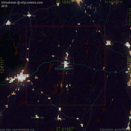
Ulricehamn night lights from space
Night Light of Ulricehamn (Västra Götaland) from space (Sweden) Src. Average luminocity for 10x10km area is 14.0432% and for 50x50km: 1.6775%.
Analysis of Ulricehamn night lights 2016
Square area 10x10 km:
 3.75%
3.75%90-99
3.07%80-89
0.45%70-79
0%60-69
1.59%50-59
1.25%40-49
1.36%30-39
1.36%20-29
0.11%10-19
15.11%0-9
71.93%Square area 50x50 km:
0.21%90-99
0.23%80-89
0.2%70-79
0.1%60-69
0.33%50-59
0.26%40-49
0.24%30-39
0.21%20-29
0.04%10-19
1.14%0-9
97.04%Clear (daylight) street map image can be seen on geolist.org.
Map coordinates:
58° 9' 51.9" North, 12° 42' 40" East
57° 47' 29.7" North, 13° 24' 51.2" East
57° 24' 53.5" North, 14° 7' 2.5" East
Some cities around Ulricehamn sort by population:
• Jönköping
44 km =27.3 mi,  91°
91°
• Borås
29.2 km =18.1 mi,  254°
254°
• Falköping
43.2 km =26.8 mi,  10°
10°
• Bankeryd
42.7 km =26.5 mi,  79°
79°
• Habo
41.3 km =25.7 mi,  71°
71°
• Mullsjö
30.8 km =19.1 mi,  63°
63°
• Fristad
24.2 km =15 mi,  278°
278°
• Vårgårda
45 km =28 mi,  307°
307°
2666493 (p: 10,629)
Sources (retrieved 2019-11-25):
» Earth at Night: Flat Maps 2012, 2016