Al Qadarif night lights from space
Night Light of Al Qadarif (Al Qaḑārif) from space (Sudan) Src. Average luminocity for 10x10km area is 38.4286% and for 50x50km: 1.8722%.
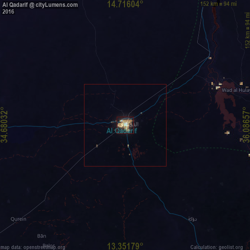
Analysis of Al Qadarif night lights 2016
Square area 10x10 km:
 1.73%
1.73%90-99
2.38%80-89
12.55%70-79
7.58%60-69
6.49%50-59
3.46%40-49
4.33%30-39
11.26%20-29
4.55%10-19
33.77%0-9
11.9%Square area 50x50 km:
0.07%90-99
0.09%80-89
0.48%70-79
0.29%60-69
0.28%50-59
0.14%40-49
0.19%30-39
0.61%20-29
0.27%10-19
1.71%0-9
95.87%Clear (daylight) street map image can be seen on geolist.org.
Map coordinates:
14° 42' 57.7" North, 34° 40' 49.2" East
14° 2' 5.7" North, 35° 23' 0.4" East
13° 21' 6.4" North, 36° 5' 11.7" East
Some cities around Al Qadarif sort by population:
• Kassala
191.7 km =119.1 mi,  34°
34°
• Singa
185.3 km =115.1 mi,  237°
237°
• Sinnar
202.8 km =126 mi,  255°
255°
• As Sūkī
180.7 km =112.3 mi, 243°
• Maiurno
197.8 km =122.9 mi,  249°
249°
• Al Ḩawātah
106.3 km =66.1 mi,  229°
229°
• Doka
70.9 km =44.1 mi,  144°
144°
• Ad Dindar
161 km =100 mi, 234°
379062 (p: 363,945)
Sources (retrieved 2019-11-25):
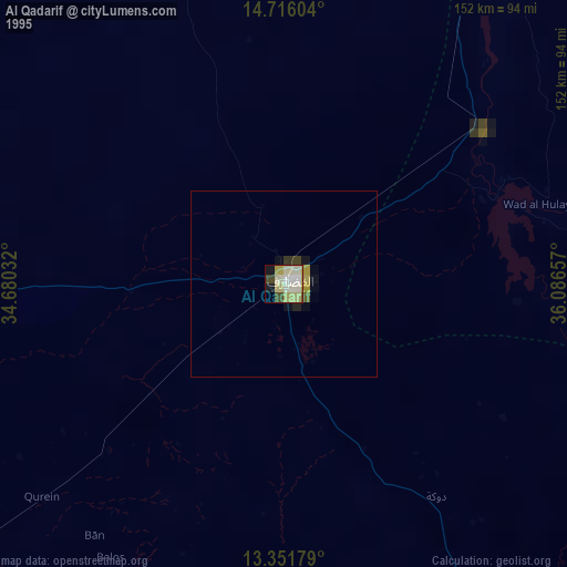
» NASA, Earths city lights 1995
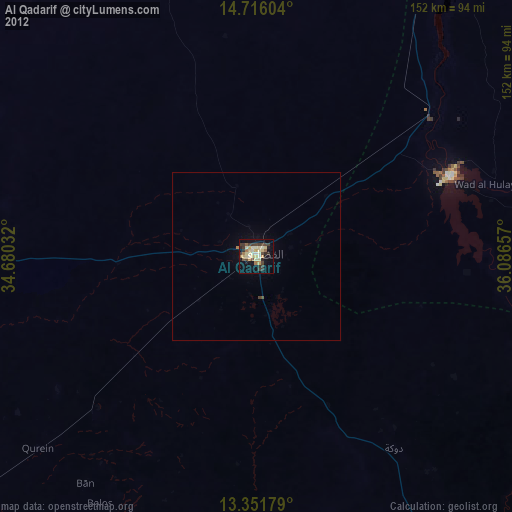
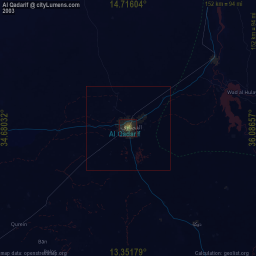
» NASA city lights 2003
» Earth at Night: Flat Maps 2012, 2016