Tārūt night lights from space
Night Light of Tārūt (Eastern Province) from space (Saudi Arabia) Src. Average luminocity for 10x10km area is 83.6439% and for 50x50km: 53.3529%.
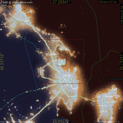
Analysis of Tārūt night lights 2016
Square area 10x10 km:
 23.67%
90-99
33.71%80-89
8.9%70-79
8.33%60-69
9.09%50-59
6.82%40-49
5.49%30-39
2.84%20-29
1.14%10-19
0%0-9
0%Square area 50x50 km:
13.52%90-99
10.65%80-89
6.25%70-79
6.21%60-69
10.96%50-59
7.22%40-49
6.09%30-39
7.42%20-29
7.55%10-19
8.41%0-9
15.72%Clear (daylight) street map image can be seen on geolist.org.
Map coordinates:
27° 12' 1.5" North, 49° 20' 13.8" East
26° 34' 23.9" North, 50° 2' 25" East
25° 56' 33.8" North, 50° 44' 36.3" East
Some cities around Tārūt sort by population:
• Dammam
16.7 km =10.4 mi,  157°
157°
• Al Qaţīf
3.2 km =2 mi,  254°
254°
• Sayhāt
10 km =6.2 mi,  175°
175°
• Şafwá
12 km =7.5 mi,  315°
315°
• Raḩīmah
15.1 km =9.4 mi,  8°
8°
• Umm as Sāhik
15.2 km =9.4 mi,  305°
305°
• Al Awjām
9.7 km =6 mi,  263°
263°
• At Tūbī
5.1 km =3.2 mi, 250°
101554 (p: 85,371)
Sources (retrieved 2019-11-25):
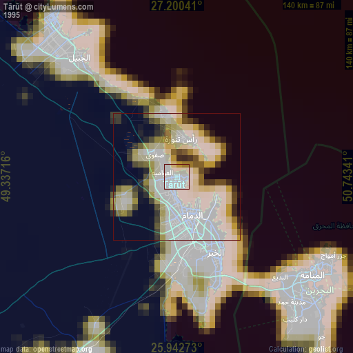
» NASA, Earths city lights 1995
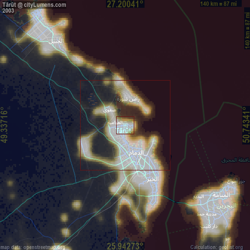
» NASA city lights 2003
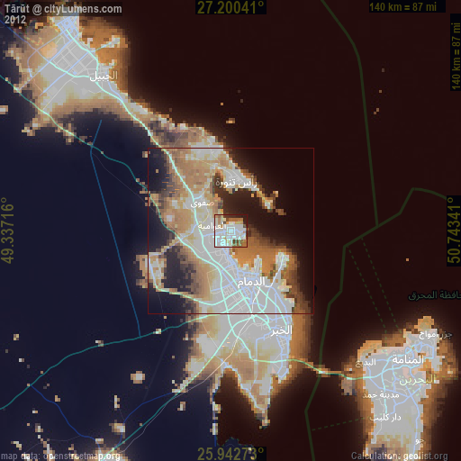
» Earth at Night: Flat Maps 2012, 2016